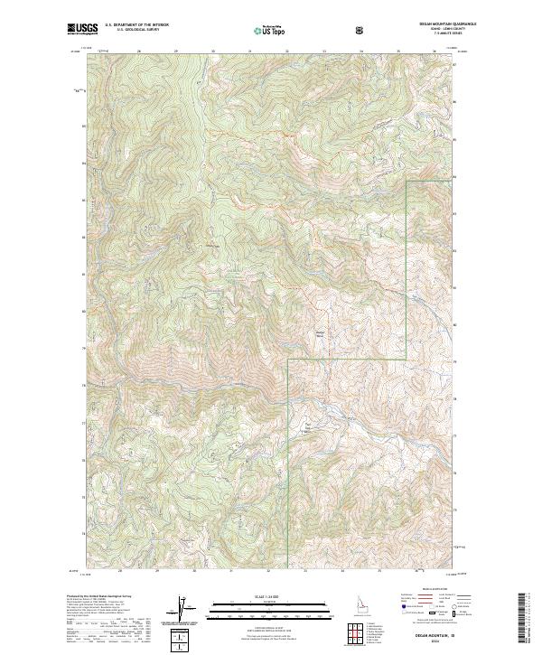
2024 Map of Degan Mountain
USGS Topo · Published 2024About this map
Salmon National Forest defines the character of this interior Idaho terrain, dominated by the prominent peaks of Degan Mtn and Sheephorn Mtn. The landscape is etched by a complex drainage system including Rattlesnake Creek, Jackass Creek, and Peel Tree Creek, which flow through high-elevation features like Badger Basin and Peel Tree Basin. This 2024 data reveals a network of primitive access routes and historical paths such as the Old Indian Trl and Rattlesnake Trl, which connect the remote ridges and springs. Vital water sources for the region, including Sheephorn Spring and Corbett Spring Number 1, are documented alongside Forest Service infrastructure like Nat For Dev Rd 028 and Iron Creek Rd. The map illustrates the specialized nomenclature of the Salmon River mountains, reflecting a legacy of resource management and back-country exploration.
Find a feature on this map
35 named features on this map. Tap any name to fly to it.
Don’t see what you’re looking for? This feature index may not catch every label — zoom into the map to look around manually.
Map Details
Editions of this 2024 Degan Mountain Map
This is the sole edition of this map. No revisions or reprints were ever made.
Other maps of this area

1950 · Salmon
USGS Topo · 1:62,500

1950 · Leesburg
USGS Topo · 1:62,500

1951 · Leesburg
USGS Topo · 1:62,500

1951 · Salmon
USGS Topo · 1:62,500

1955 · Dubois
USGS Topo · 1:250,000

1955 · Dillon
USGS Topo · 1:250,000

1956 · Elk City
USGS Topo · 1:250,000

1957 · Dillon
USGS Topo · 1:250,000

1957 · Challis
USGS Topo · 1:250,000

1958 · Dubois
USGS Topo · 1:250,000