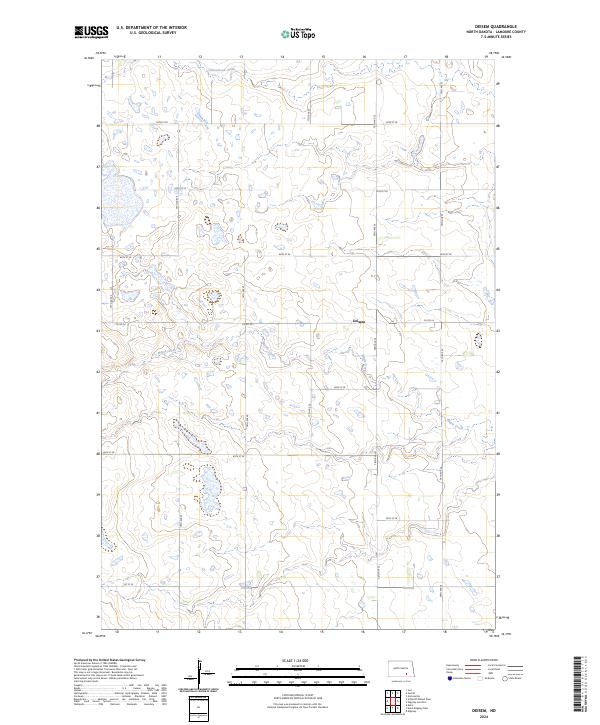
2024 Map of Deisem
USGS Topo · Published 2024About this map
Deisem stands as a focal point in this section of LaMoure County, situated within a prairie landscape defined by significant wetland conservation and glacial drainage patterns. The LaMoure County Waterfowl Production Area occupies a substantial portion of the northwest, protecting critical habitat amidst the region's agricultural section lines. These square-mile grids are organized by numerous rural routes including 64th St SE and 75th Ave SE. The hydrology of the area is governed by the meandering paths of Maple Creek and Cottonwood Creek, which weave through the townships of t135n r65w and t134n r64w. The map illustrates the contemporary intersection of modern land management and the traditional North Dakota township-and-range survey system, showing how the natural coulees and creeks interact with the rigid infrastructure of Co Rd 34.
Find a feature on this map
22 named features on this map. Tap any name to fly to it.
Don’t see what you’re looking for? This feature index may not catch every label — zoom into the map to look around manually.
Map Details
Editions of this 2024 Deisem Map
This is the sole edition of this map. No revisions or reprints were ever made.
Other maps of this area

1896 · Jamestown
USGS Topo · 1:125,000

1896 · Edgeley
USGS Topo · 1:125,000

1925 · Edgeley
USGS Topo · 1:125,000

1953 · Jamestown
USGS Topo · 1:250,000

1953 · Jud
USGS Topo · 1:24,000

1953 · Nortonville
USGS Topo · 1:24,000

1953 · Jud SE
USGS Topo · 1:24,000

1956 · Jamestown
USGS Topo · 1:250,000

1982 · Schlecht-Weixel Dam
USGS Topo · 1:24,000

1982 · Deisem
USGS Topo · 1:24,000