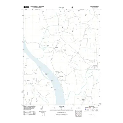
2011 Map of Dekoven
USGS Topo · Published 2011About this map
The Ohio River frontage defines this 2011 survey, where the river serves as a primary geographic anchor for both industrial and historic sites. Several river landings, including Sellers Landing and Gentry Landing, underscore the waterway's role in local commerce. The landscape is dotted with small, historically rooted settlements such as Dekoven, Caseyville, and Henshaw, many of which are surrounded by family and community burial grounds like Odd Fellows Cemetery and Hobbs Cemetery.
Find a feature on this map
61 named features on this map. Tap any name to fly to it.
Don’t see what you’re looking for? This feature index may not catch every label — zoom into the map to look around manually.
Map Details
Editions of this 2011 Dekoven Map
This is the sole edition of this map. No revisions or reprints were ever made.
Other maps of this area

1907 · Morganfield
USGS Topo · 1:62,500

1909 · Providence
USGS Topo · 1:62,500

1916 · Shawneetown
USGS Topo · 1:62,500

1916 · Fords Ferry
USGS Topo · 1:62,500

1921 · Fords Ferry
USGS Topo · 1:48,000

1925 · Cave In Rock
USGS Topo · 1:62,500

1949 · Paducah
USGS Topo · 1:250,000

1949 · Morganfield
USGS Topo · 1:24,000

1950 · Paducah
USGS Topo · 1:250,000

1951 · Sturgis
USGS Topo · 1:24,000