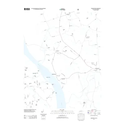
2013 Map of Dekoven
USGS Topo · Published 2013About this map
Caseyville and Dekoven anchor this riverfront landscape where the Ohio River meets the mouths of Cypress Cr and the Tradewater River. The map reveals a high density of named terrain features and river landings that point to the area's history as a transit and extraction hub. Landmarks like Battery Rock and Anvil Rock rise above the riverbanks, while the presence of Sellers Landing and Gentry Landing suggest a long-standing reliance on water-borne commerce and ferry points.
Find a feature on this map
81 named features on this map. Tap any name to fly to it.
Don’t see what you’re looking for? This feature index may not catch every label — zoom into the map to look around manually.
Map Details
Editions of this 2013 Dekoven Map
This is the sole edition of this map. No revisions or reprints were ever made.
Other maps of this area

1907 · Morganfield
USGS Topo · 1:62,500

1909 · Providence
USGS Topo · 1:62,500

1916 · Shawneetown
USGS Topo · 1:62,500

1916 · Fords Ferry
USGS Topo · 1:62,500

1921 · Fords Ferry
USGS Topo · 1:48,000

1925 · Cave In Rock
USGS Topo · 1:62,500

1949 · Paducah
USGS Topo · 1:250,000

1949 · Morganfield
USGS Topo · 1:24,000

1950 · Paducah
USGS Topo · 1:250,000

1951 · Sturgis
USGS Topo · 1:24,000