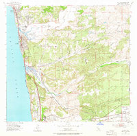
1953 Map of Del Mar
USGS Topo · Published 1966About this map
Coastal development along U S Highway 101 and the Atchison Topeka and Santa Fe railroad corridor defines this mid-century landscape. This survey documents the transition of the northern San Diego coast before the arrival of modern interstate highways, showing the established communities of Solana Beach and Del Mar alongside more isolated outposts like Eden Gardens and Sorrento. The presence of the Soledad School and Sorrento PO near the intersection of Soledad Valley and Carmel Valley highlights the historical hubs of local life.
Find a feature on this map
36 named features on this map. Tap any name to fly to it.
Don’t see what you’re looking for? This feature index may not catch every label — zoom into the map to look around manually.
Map Details
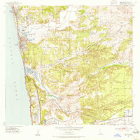
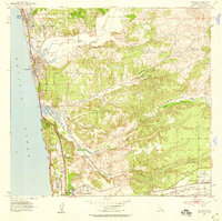
Editions of this 1953 Del Mar Map
3 editions found
Other maps of this area

1893 · Oceanside
USGS Topo · 1:62,500

1893 · Escondido
USGS Topo · 1:62,500

1898 · Oceanside
USGS Topo · 1:62,500

1901 · Escondido
USGS Topo · 1:62,500

1901 · Oceanside
USGS Topo · 1:62,500

1901 · San Luis Rey
USGS Topo · 1:125,000

1903 · La Jolla
USGS Topo · 1:62,500

1904 · Southern California Sheet No. 2
USGS Topo · 1:250,000

1930 · La Jolla
USGS Topo · 1:62,500

1942 · Poway Valley
USGS Topo · 1:31,680