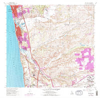
1967 Map of Del Mar
USGS Topo · Published 1978About this map
The coastal shelf of North County San Diego undergoes a period of rapid suburban and institutional expansion in this survey. The landscape is anchored by the historic Del Mar Race Track near the mouth of the San Dieguito River, while new residential footprints in Mira Mesa and Del Mar Heights begin to fill the mesas between ancient canyons. Large-scale land use defines the southern half of the map, where the sprawling Miramar Naval Air Station meets the architectural modernism of the Salk Institute and Scripps Memorial Hospital.
Find a feature on this map
48 named features on this map. Tap any name to fly to it.
Don’t see what you’re looking for? This feature index may not catch every label — zoom into the map to look around manually.
Map Details
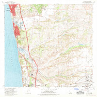
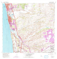
Editions of this 1967 Del Mar Map
3 editions found
Other maps of this area

1893 · Oceanside
USGS Topo · 1:62,500

1893 · Escondido
USGS Topo · 1:62,500

1898 · Oceanside
USGS Topo · 1:62,500

1901 · Escondido
USGS Topo · 1:62,500

1901 · Oceanside
USGS Topo · 1:62,500

1901 · San Luis Rey
USGS Topo · 1:125,000

1903 · La Jolla
USGS Topo · 1:62,500

1904 · Southern California Sheet No. 2
USGS Topo · 1:250,000

1930 · La Jolla
USGS Topo · 1:62,500

1942 · Poway Valley
USGS Topo · 1:31,680