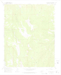
1967 Map of Del Norte Peak
USGS Topo · Published 1975About this map
Del Norte Peak rises as the central landmark of this high-elevation landscape, where the topography is defined by the drainage systems of the Rio Grande National Forest. This 1967 survey reveals a network of high-country water sources, including the headwaters of Wolf Creek and Willow Creek, flowing around the prominent Hogback Mesa. The area is characterized by open clearings like Rio Grande Park and Ruston Park, which provide rare level ground amidst the steep drainage of Schrader Creek and Fir Creek.
Find a feature on this map
28 named features on this map. Tap any name to fly to it.
Don’t see what you’re looking for? This feature index may not catch every label — zoom into the map to look around manually.
Map Details
Editions of this 1967 Del Norte Peak Map
3 editions found
Other maps of this area

1913 · Summitville
USGS Topo · 1:125,000

1914 · Creede
USGS Topo · 1:125,000

1915 · Summitville
USGS Topo · 1:125,000

1915 · Del Norte
USGS Topo · 1:125,000

1916 · Creede
USGS Topo · 1:125,000

1917 · Del Norte
USGS Topo · 1:125,000

1922 · Conejos
USGS Topo · 1:125,000

1945 · Durango
USGS Topo · 1:250,000

1953 · Durango
USGS Topo · 1:250,000

1954 · Durango
USGS Topo · 1:250,000