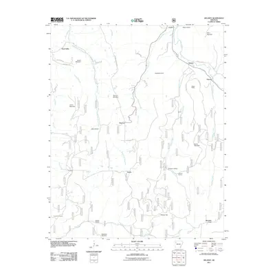
2011 Map of Delaney
USGS Topo · Published 2011About this map
The Middle Fork White River and White River converge in this highland area of Madison County, where small settlements like Delaney and Crosses developed along the narrow river valleys. The landscape is defined by its deep relief, with prominent peaks such as Brannon Mountain and Boone Mountain rising above the winding drainages. This 2011 survey documents a network of county and forest service roads that replaced earlier pioneer trails, connecting isolated hamlets like Health and Brannon to the larger region. Genealogists will find significant local-history value in the preservation of family and community landmarks, including the Temple Hill Cemetery and Stringum Cemetery. The drainage patterns here are particularly complex, with the southern portion of the map transitioning into the watershed of Frog Bayou, while the northern waters flow toward the White River basin, reflecting the area's position along a significant regional divide.
Find a feature on this map
57 named features on this map. Tap any name to fly to it.
Don’t see what you’re looking for? This feature index may not catch every label — zoom into the map to look around manually.
Map Details
Editions of this 2011 Delaney Map
This is the sole edition of this map. No revisions or reprints were ever made.
Other maps of this area

1879 · Cravens
USGS Topo · 1:62,500

1887 · Watalula
USGS Topo · 1:62,500

1898 · Winslow #4
USGS Topo · 1:62,500

1898 · Winslow
USGS Topo · 1:125,000

1901 · Winslow
USGS Topo · 1:125,000

1939 · Watalula
USGS Topo · 1:62,500

1943 · St. Paul
USGS Topo · 1:62,500

1946 · St. Paul
USGS Topo · 1:62,500

1946 · Fort Smith
USGS Topo · 1:250,000

1956 · Russellville
USGS Topo · 1:250,000