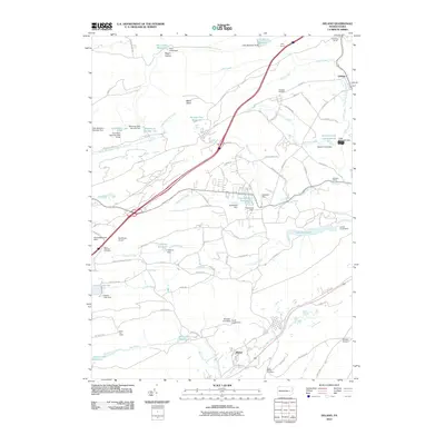
2010 Map of Delano
USGS Topo · Published 2010About this map
The Little Schuylkill River and its numerous tributaries define this landscape, carved by a complex network of reservoirs and coal-region infrastructure. The settlement of Maryd sits in the southern valley, near the Saint Bertha Cemetery, while the northern reaches feature the Lofty Tunnel and Quakake Junction rail infrastructure. Significant water management is evident through the many numbered basins, such as Reservoir Number Two and Number One Reservoir, alongside named bodies like Blue Head Reservoir and the expansive Tuscarora Lake. Recreational and conservation land is anchored by Locust Lake State Park, which preserves a large tract of terrain between the active settlements. Aviation and communication landmarks also dot the area, including the Bendinsky Airport and the Silver Fire Tower, providing a detailed look at the rural and industrial geography of this part of Schuylkill County.
Find a feature on this map
102 named features on this map. Tap any name to fly to it.
Don’t see what you’re looking for? This feature index may not catch every label — zoom into the map to look around manually.
Map Details
Editions of this 2010 Delano Map
This is the sole edition of this map. No revisions or reprints were ever made.
Other maps of this area

1889 · Hazleton
USGS Topo · 1:62,500

1889 · Pottsville
USGS Topo · 1:62,500

1891 · Hazleton
USGS Topo · 1:62,500

1891 · Pottsville
USGS Topo · 1:62,500

1892 · Mahanoy
USGS Topo · 1:62,500

1893 · Hazleton
USGS Topo · 1:62,500

1893 · Mahanoy
USGS Topo · 1:62,500

1909 · Hamburg
USGS Topo · 1:62,500

1911 · Hamburg
USGS Topo · 1:62,500

1944 · Pottsville
USGS Topo · 1:24,000
Featured Places
- Hometown, Rush Township
- Delano, Delano Township
- Delano Township, PA
- Mahanoy Township, PA
- Tamanend, Rush Township