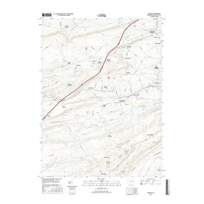
2016 Map of Delano
USGS Topo · Published 2016About this map
Broad Mountain and Locust Mountain dominate the geography of this portion of the Pennsylvania anthracite region, where the industrial legacy of the coal and rail era is written across the landscape. The intricate network of rail junctions, including Laurel Junction, Pine Junction, and East Mahanoy Junction, illustrates the complex transportation needs of the early 21st century. High-elevation reservoirs like Lofty Reservoir and Moss Glen Reservoir are prominent, serving the surrounding valley communities.
Find a feature on this map
140 named features on this map. Tap any name to fly to it.
Don’t see what you’re looking for? This feature index may not catch every label — zoom into the map to look around manually.
Map Details
Editions of this 2016 Delano Map
This is the sole edition of this map. No revisions or reprints were ever made.
Other maps of this area

1889 · Hazleton
USGS Topo · 1:62,500

1889 · Pottsville
USGS Topo · 1:62,500

1891 · Hazleton
USGS Topo · 1:62,500

1891 · Pottsville
USGS Topo · 1:62,500

1892 · Mahanoy
USGS Topo · 1:62,500

1893 · Hazleton
USGS Topo · 1:62,500

1893 · Mahanoy
USGS Topo · 1:62,500

1909 · Hamburg
USGS Topo · 1:62,500

1911 · Hamburg
USGS Topo · 1:62,500

1944 · Pottsville
USGS Topo · 1:24,000
Featured Places
- Hometown, Rush Township
- Delano, Delano Township
- Delano Township, PA
- Mahanoy Township, PA
- Tamanend, Rush Township