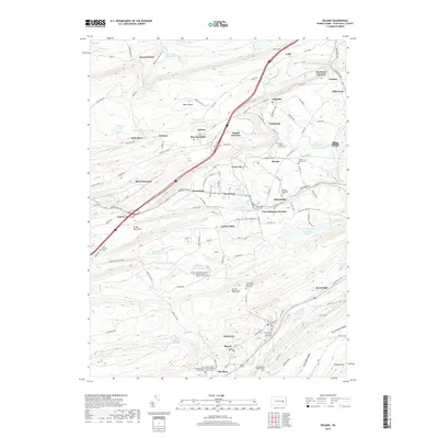
2019 Map of Delano
USGS Topo · Published 2019About this map
Broad Mountain and Locust Mountain dominate the geography of this Schuylkill County landscape, where the anthracite region's industrial legacy is etched into the terrain. Settlements like Delano, Tuscarora, and Brockton follow the valleys and ridges, connected by a network of rail junctions including Laurel Junction and East Mahanoy Junction. The map reveals a dense concentration of community heritage through its many cemeteries, such as the Saint Peter's United Church Cem and Hersker Family Cem and the Brouse - Hauch Family Cem near Haucks. Water management for the region is evident in the numerous impoundments like Moss Glen Reservoir and Blue Head Reservoir. The inclusion of Tuscarora State Park and features like the Lofty Tunnel highlights the shift from purely extractive industry to recreation and modern infrastructure.
Find a feature on this map
140 named features on this map. Tap any name to fly to it.
Don’t see what you’re looking for? This feature index may not catch every label — zoom into the map to look around manually.
Map Details
Editions of this 2019 Delano Map
This is the sole edition of this map. No revisions or reprints were ever made.
Other maps of this area

1889 · Hazleton
USGS Topo · 1:62,500

1889 · Pottsville
USGS Topo · 1:62,500

1891 · Hazleton
USGS Topo · 1:62,500

1891 · Pottsville
USGS Topo · 1:62,500

1892 · Mahanoy
USGS Topo · 1:62,500

1893 · Hazleton
USGS Topo · 1:62,500

1893 · Mahanoy
USGS Topo · 1:62,500

1909 · Hamburg
USGS Topo · 1:62,500

1911 · Hamburg
USGS Topo · 1:62,500

1944 · Pottsville
USGS Topo · 1:24,000
Featured Places
- Hometown, Rush Township
- Delano, Delano Township
- Delano Township, PA
- Mahanoy Township, PA
- Tamanend, Rush Township