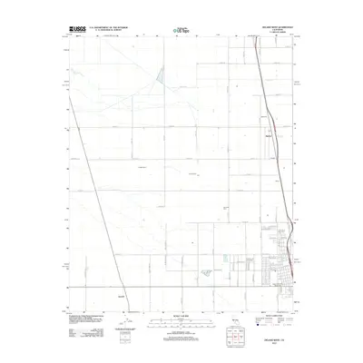
2012 Map of Delano West
USGS Topo · Published 2012About this map
Agricultural development defines this corner of the San Joaquin Valley, where the White River crosses an expansive grid of orchards and vineyards. The landscape is marked by several named loading points and agricultural outposts along the rail corridor, including Radnor, Pagliarulo, and Caratan. These locations, along with Caric and Butera, speak to the region's historical role as a hub for grape and nut production.
Find a feature on this map
67 named features on this map. Tap any name to fly to it.
Don’t see what you’re looking for? This feature index may not catch every label — zoom into the map to look around manually.
Map Details
Editions of this 2012 Delano West Map
This is the sole edition of this map. No revisions or reprints were ever made.
Other maps of this area

1927 · McFarland
USGS Topo · 1:31,680

1929 · Alpaugh
USGS Topo · 1:31,680

1929 · Delano
USGS Topo · 1:31,680

1929 · Sausalito School
USGS Topo · 1:31,680

1929 · Pixley
USGS Topo · 1:31,680

1929 · Stone
USGS Topo · 1:31,680

1929 · Allensworth
USGS Topo · 1:31,680

1930 · McFarland
USGS Topo · 1:31,680

1930 · Hamlin School
USGS Topo · 1:31,680

1930 · Pond
USGS Topo · 1:31,680