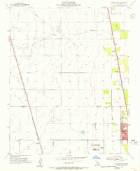
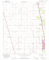
1954 Map of Delano West
USGS Topo · Published 1955About this map
Agricultural development and industrial transport dominate this San Joaquin Valley landscape at the mid-century. The western outskirts of the growing community include civic landmarks such as Fremont Sch and Ellington School, while the Delano-McFarland District Cem serves the region's residents. The map captures a high-density rail infrastructure essential for the movement of goods, featuring the Atchison Topeka and Santa Fe and Southern Pacific lines. Numerous specialized sidings, including Caratan, Butera, and Pagliarulo, indicate the intensity of local produce shipping. In the northern reaches, the White River crosses through an area marked by a sophisticated network of canals and irrigation reservoirs. This 1954 topography also identifies the rural settlement of Kernell and the Radio Tower KCHJ, providing a clear view of the area's transition from open range to a mechanized agricultural hub.
Find a feature on this map
29 named features on this map. Tap any name to fly to it.
Don’t see what you’re looking for? This feature index may not catch every label — zoom into the map to look around manually.
Map Details
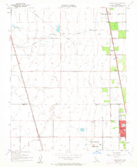
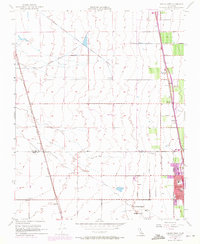
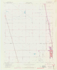
Editions of this 1954 Delano West Map
5 editions found
Other maps of this area

1927 · McFarland
USGS Topo · 1:31,680

1929 · Alpaugh
USGS Topo · 1:31,680

1929 · Delano
USGS Topo · 1:31,680

1929 · Sausalito School
USGS Topo · 1:31,680

1929 · Pixley
USGS Topo · 1:31,680

1929 · Stone
USGS Topo · 1:31,680

1929 · Allensworth
USGS Topo · 1:31,680

1930 · McFarland
USGS Topo · 1:31,680

1930 · Hamlin School
USGS Topo · 1:31,680

1930 · Pond
USGS Topo · 1:31,680