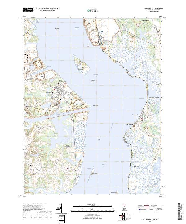
2023 Map of Delaware City
USGS Topo · Published 2023About this map
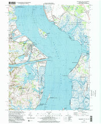
Delaware City serves as the focal point for this study of the coastal boundary where the Delaware River meets the northern Delmarva Peninsula. The landscape is defined by the heavy maritime infrastructure of the Chesapeake and Delaware Canal, which carves through the wetlands and links the Intracoastal Waterway to the wider bay. Along the river, Pea Patch Island and Reedy Island stand as prominent landmarks amidst a complex system of shipping channels like the New Castle Range and Bulkhead Shoal.
Find a feature on this map
101 named features on this map. Tap any name to fly to it.
Don’t see what you’re looking for? This feature index may not catch every label — zoom into the map to look around manually.
Map Details
Editions of this 2023 Delaware City Map
This is the sole edition of this map. No revisions or reprints were ever made.
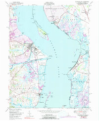
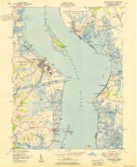
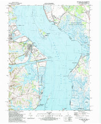
Historical Maps of Oakwood Beach Through Time
5 maps found
Featured Locations
- Delaware City, DE
- Port Penn, DE
- Shingle Landing, DE
- Lower Alloways Creek Township, NJ
- Pennsville Township, NJ