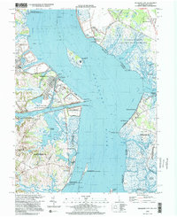
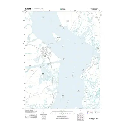
1999 Map of Delaware City
USGS Topo · Published 2001About this map
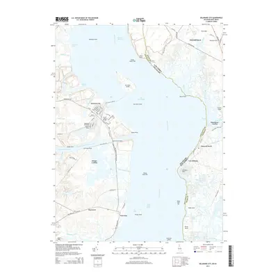
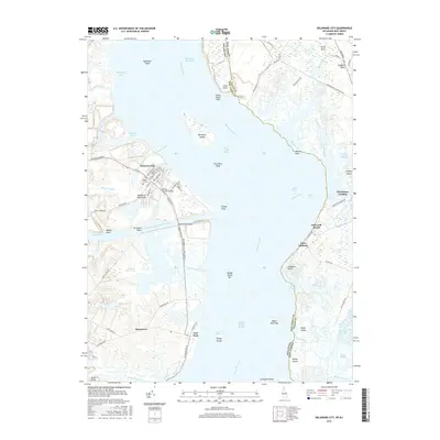
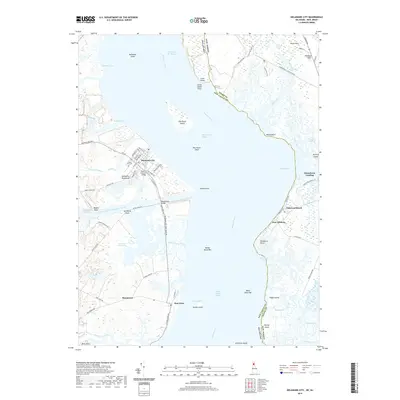
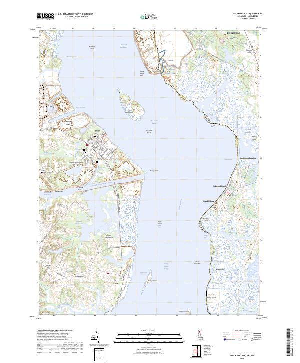
Pea Patch Island and the strategic waters of the Delaware River dominate this late-century landscape, where historical fortifications and wildlife management areas define the riverfront. The map documents the civil and military history of the region through Fort Delaware State Park, Fort DuPont State Park, and Fort Mott State Park, positioned at the critical narrows of the river. To the west, Delaware City sits at the junction of Dragon Creek and the Chesapeake and Delaware Canal, serving as a focal point for navigation.
Find a feature on this map
65 named features on this map. Tap any name to fly to it.
Don’t see what you’re looking for? This feature index may not catch every label — zoom into the map to look around manually.
Map Details
Editions of this 1999 Delaware City Map
This is the sole edition of this map. No revisions or reprints were ever made.
Historical Maps of Pennsville Township Through Time
9 maps found
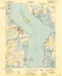
1948 Delaware City
New Castle County, DE
1951 Delaware City
New Castle County, DE
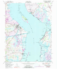
1993 Delaware City
New Castle County, DE
1999 Delaware City
New Castle County, DE
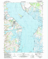
2011 Delaware City
New Castle County, DE
2014 Delaware City
New Castle County, DE
2016 Delaware City
New Castle County, DE
2019 Delaware City
New Castle County, DE
2023 Delaware City
New Castle County, DE
Featured Locations
- Delaware City, DE
- Shingle Landing, DE
- Lower Alloways Creek Township, NJ
- Pennsville Township, NJ
- Fort Elfsborg, Elsinboro Township