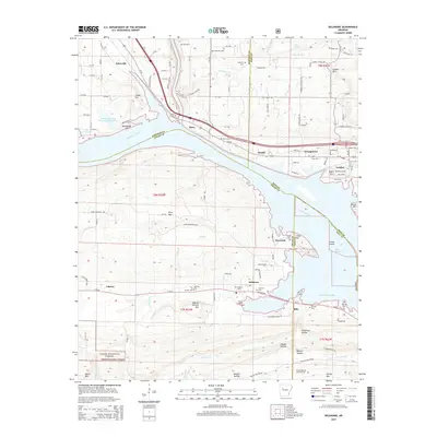
2014 Map of Delaware
USGS Topo · Published 2014About this map
Lake Dardanelle and the Arkansas River dominate this river-valley landscape, where the confluence of Pope, Johnson, Logan, and Yell counties meets. The northern bank is defined by the transportation corridor of Us-64, linking the settlements of Knoxville, Piney, and London. This area is marked by numerous family and community burial grounds, including Utley Cem near the riverbank and Hon Cem further inland, providing a dense record of local settlement history. South of the river, the terrain rises into the River Mtn and Charlie Rollans Mtn ranges within the Ozark National Forest. The map also captures the industrial footprint of the region through the Knoxville Gas Field and the Mount Nebo Oil and Gas Field, contrasting the rural residential nature of Delaware and Sills with active energy extraction and conservation areas like the Lake Dardanelle State Fish Hatchery.
Find a feature on this map
100 named features on this map. Tap any name to fly to it.
Don’t see what you’re looking for? This feature index may not catch every label — zoom into the map to look around manually.
Map Details
Editions of this 2014 Delaware Map
This is the sole edition of this map. No revisions or reprints were ever made.
Other maps of this area

1888 · Dardanelle #4
USGS Topo · 1:62,500

1888 · Dardanelle #2
USGS Topo · 1:62,500

1888 · Dardanelle #1
USGS Topo · 1:62,500

1888 · Dardanelle #3
USGS Topo · 1:62,500

1890 · Dardanelle
USGS Topo · 1:125,000

1956 · Russellville
USGS Topo · 1:250,000
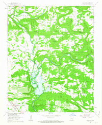
1962 · Knoxville
USGS Topo · 1:24,000
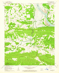
1962 · New Blaine
USGS Topo · 1:24,000

1962 · Delaware
USGS Topo · 1:24,000
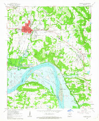
1962 · Clarksville
USGS Topo · 1:24,000