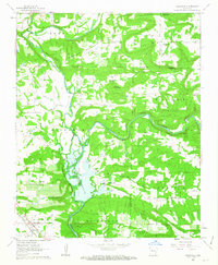
1962 Map of Knoxville
USGS Topo · Published 1963About this map
Knoxville serves as the primary hub in the southwestern portion of this map, situated along the Missouri Pacific railroad. The landscape is defined by the significant presence of the Dardanelle Reservoir, which impacts the southern drainages of Piney Creek. This 1962 field-checked survey reveals an area of transition, where established rural communities like Lutherville and Hickeytown sit amidst a rugged topography of named bluffs and peaks, including Jackson Bluff and Round Mountain.
Find a feature on this map
47 named features on this map. Tap any name to fly to it.
Don’t see what you’re looking for? This feature index may not catch every label — zoom into the map to look around manually.
Map Details
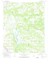
Editions of this 1962 Knoxville Map
2 editions found
Other maps of this area

1888 · Dardanelle #2
USGS Topo · 1:62,500

1888 · Dardanelle #1
USGS Topo · 1:62,500

1889 · Treat
USGS Topo · 1:62,500

1889 · Ozone
USGS Topo · 1:62,500

1890 · Dardanelle
USGS Topo · 1:125,000

1932 · Treat
USGS Topo · 1:62,500

1934 · Treat
USGS Topo · 1:62,500

1934 · Ozone
USGS Topo · 1:62,500

1936 · Ozone
USGS Topo · 1:62,500

1956 · Russellville
USGS Topo · 1:250,000