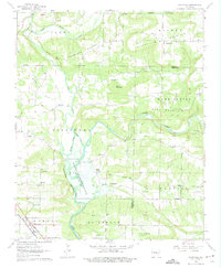
1962 Map of Knoxville
USGS Topo · Published 1975About this map
Big Piney Creek carves a deep valley through the Ozark foothills as the river winds toward its confluence at the Dardanelle Reservoir. This early 1960s survey documents a landscape of small upland settlements and valley farms along the Missouri Pacific railroad. The map shows the blue-shaded reaches of the reservoir at its normal pool elevation of 338 feet, indicating the transformation of the lower Little Piney Creek basin.
Find a feature on this map
49 named features on this map. Tap any name to fly to it.
Don’t see what you’re looking for? This feature index may not catch every label — zoom into the map to look around manually.
Map Details
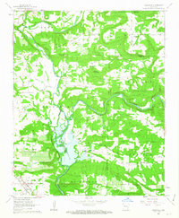
Editions of this 1962 Knoxville Map
2 editions found
Other maps of this area

1888 · Dardanelle #2
USGS Topo · 1:62,500

1888 · Dardanelle #1
USGS Topo · 1:62,500

1889 · Treat
USGS Topo · 1:62,500

1889 · Ozone
USGS Topo · 1:62,500

1890 · Dardanelle
USGS Topo · 1:125,000

1932 · Treat
USGS Topo · 1:62,500

1934 · Treat
USGS Topo · 1:62,500

1934 · Ozone
USGS Topo · 1:62,500

1936 · Ozone
USGS Topo · 1:62,500

1956 · Russellville
USGS Topo · 1:250,000