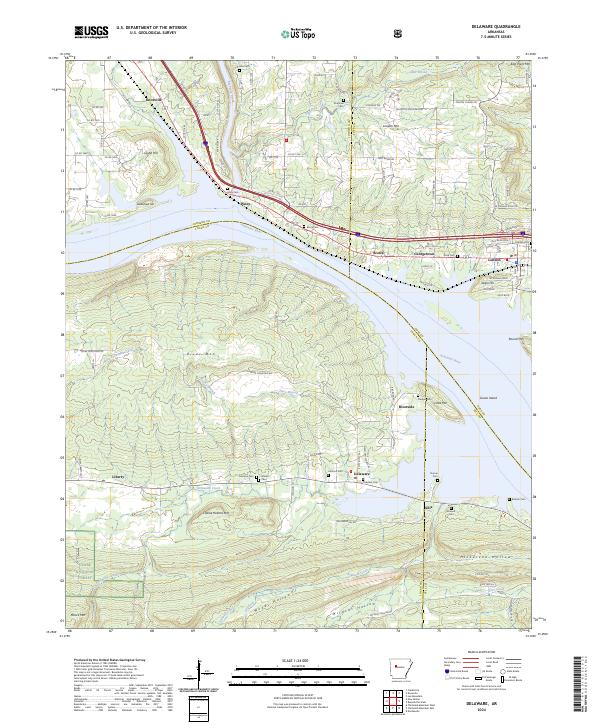
2024 Map of Delaware
USGS Topo · Published 2024About this map
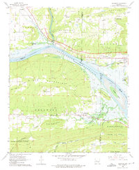
The Arkansas River divides this Central Arkansas landscape, separating the flat bottomlands and northern communities of Knoxville and London from the higher elevations of the Ozark National Forest to the south. This river corridor has long served as a primary transportation and settlement axis, evidenced here by the clustered cemeteries and small communities like Piney, Scotia, and Riverside. Significant topographic landmarks rise above the river valley, including London Mtn, River Mtn, and Charlie Rollans Mtn, while Big Piney Creek and Flat Rock Creek drain the northern interior. Genealogists will find a wealth of burial sites across the quadrangle, from the Price Cem near London to the Chastain Cem and Garrison Cem near the southern settlement of Delaware. The southern reaches are defined by several large hollows, including Woods Hollow and Wildcat Hollow, which cut through the hills near Delaware Creek.
Find a feature on this map
110 named features on this map. Tap any name to fly to it.
Don’t see what you’re looking for? This feature index may not catch every label — zoom into the map to look around manually.
Map Details
Editions of this 2024 Delaware Map
This is the sole edition of this map. No revisions or reprints were ever made.
Historical Maps of Piney Through Time
19 maps found

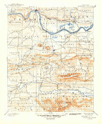
1879 Mountain Home
Logan County, AR

1887 Magazine Mountain #1
Logan County, AR

1887 Magazine Mountain #3
Logan County, AR

1887 Magazine Mountain #4
Logan County, AR

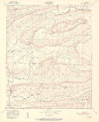
1887 Magazine Mountain
Logan County, AR
1890 Magazine Mountain
Logan County, AR
1947 Ione
Logan County, AR
1951 Ione
Logan County, AR
1962 Delaware
Logan County, AR
1966 Magazine Mountain NE
Logan County, AR
1983 Golden City
Logan County, AR
1983 Sugar Grove
Logan County, AR
1987 Ione
Logan County, AR
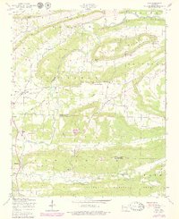
1993 Delaware
Logan County, AR
2024 Delaware
Logan County, AR
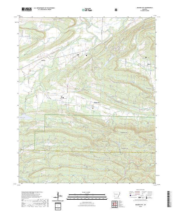
2024 Golden City
Logan County, AR
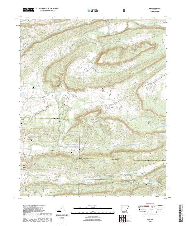
2024 Ione
Logan County, AR
2024 Magazine Mountain NE
Logan County, AR
2024 Sugar Grove
Logan County, AR