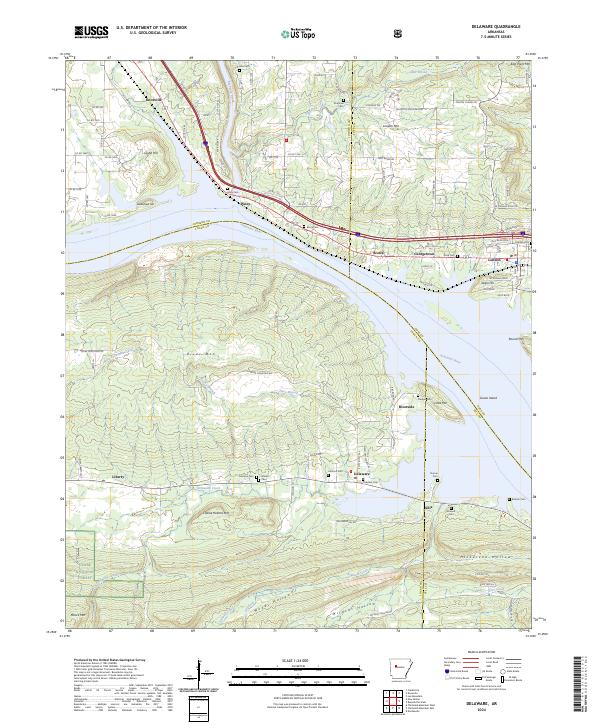
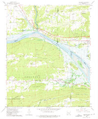
2024 Map of Delaware
USGS Topo · Published 2024This historical map portrays the area of Delaware in 2024, primarily covering Logan County as well as portions of Johnson County, Yell County, and Pope County. Featuring a scale of 1:24000, this map provides a highly detailed snapshot of the terrain, roads, buildings, counties, and historical landmarks in the Delaware region at the time. Published in 2024, it is the sole known edition of this map.
Map Details
Editions of this 2024 Delaware Map
This is the sole edition of this map. No revisions or reprints were ever made.
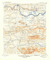
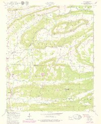
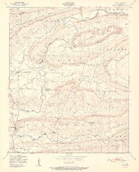
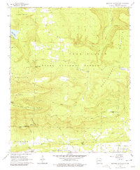
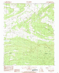
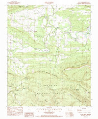
Historical Maps of Knoxville Through Time
19 maps found

1879 Mountain Home
Logan County, AR

1887 Magazine Mountain #1
Logan County, AR

1887 Magazine Mountain #3
Logan County, AR

1887 Magazine Mountain #4
Logan County, AR

1887 Magazine Mountain
Logan County, AR
1890 Magazine Mountain
Logan County, AR
1947 Ione
Logan County, AR
1951 Ione
Logan County, AR
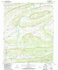
1962 Delaware
Logan County, AR
1966 Magazine Mountain NE
Logan County, AR
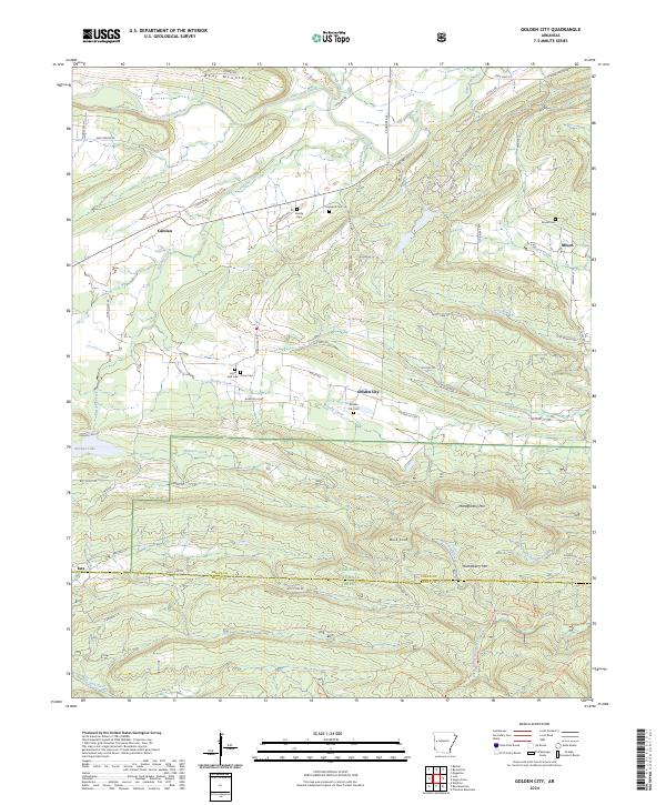
1983 Golden City
Logan County, AR
1983 Sugar Grove
Logan County, AR
1987 Ione
Logan County, AR
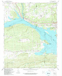
1993 Delaware
Logan County, AR
2024 Delaware
Logan County, AR
2024 Golden City
Logan County, AR
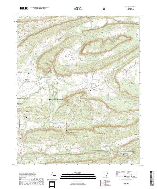
2024 Ione
Logan County, AR
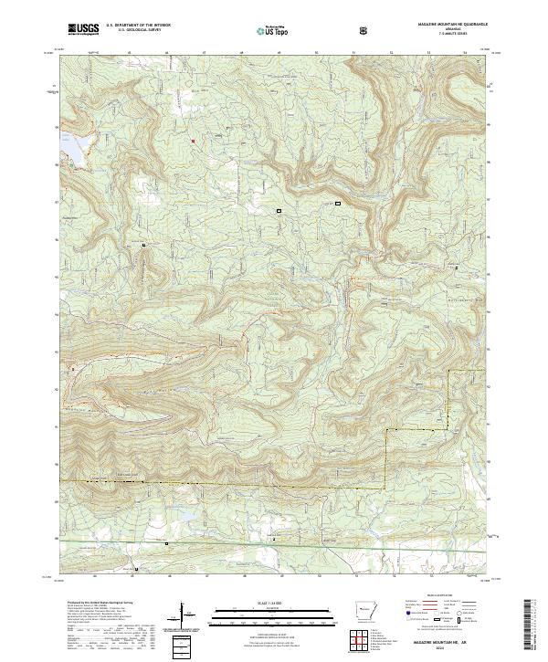
2024 Magazine Mountain NE
Logan County, AR
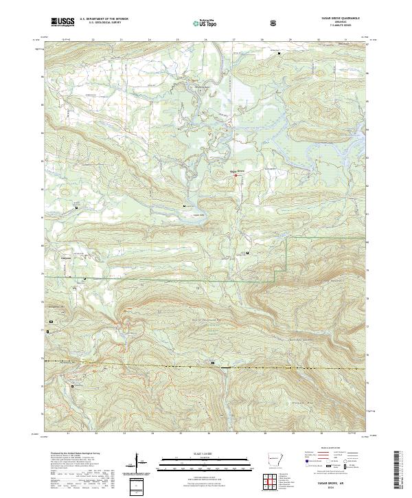
2024 Sugar Grove
Logan County, AR