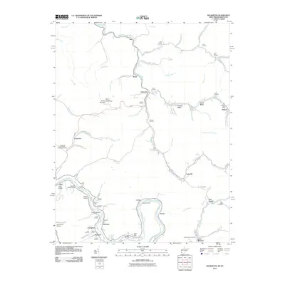
2010 Map of Delbarton
USGS Topo · Published 2010About this map
Pigeon Creek carves a deep valley through this Mingo County landscape, connecting a string of coal-country settlements including Delbarton, Burch, and Taylorville. The terrain is defined by steep hollows like Buzzard Roost Hollow and Culler Hollow, with the Buffalo Lookout Tower standing at the summit of Buffalo Mountain. This era of the region’s development is clearly marked by industrial infrastructure such as the Cinderella Coal Waste Embankment Dam and significant mining operations at Puritan Mines and Lando Mines.
Find a feature on this map
87 named features on this map. Tap any name to fly to it.
Don’t see what you’re looking for? This feature index may not catch every label — zoom into the map to look around manually.
Map Details
Editions of this 2010 Delbarton Map
This is the sole edition of this map. No revisions or reprints were ever made.
Other maps of this area

1887 · Warfield
USGS Topo · 1:125,000

1891 · Warfield
USGS Topo · 1:125,000

1909 · Matewan
USGS Topo · 1:48,000

1910 · Holden
USGS Topo · 1:48,000

1910 · Naugatuck
USGS Topo · 1:48,000

1912 · Naugatuck
USGS Topo · 1:62,500

1912 · Holden
USGS Topo · 1:62,500

1915 · Williamson
USGS Topo · 1:48,000

1915 · Naugatuck
USGS Topo · 1:48,000

1915 · Matewan
USGS Topo · 1:48,000