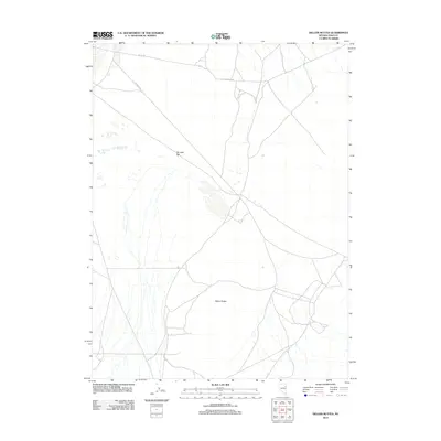
2012 Map of Delcer Buttes
USGS Topo · Published 2012About this map
Delcer Buttes rise above the high desert floor in this 2012 survey of eastern Elko County. The landscape is defined by vast ephemeral drainage patterns and the broad, level expanse of Dry Lake Flat, reflecting a terrain shaped by seasonal water movement and arid basin conditions. Human presence in this isolated portion of the Great Basin is sparse, marked primarily by a network of unimproved roads and tracks that navigate the flatlands and mountain skirts. Routes like Butte Valley Rd and Murphys Wl connect the open range, while the label Butte Vly identifies the broader valley corridor. This map captures the remote character of Nevada's ranching and mining country, where landmarks are often defined by subtle shifts in elevation or rare water features in a predominantly dry environment.
Find a feature on this map
5 named features on this map. Tap any name to fly to it.
Don’t see what you’re looking for? This feature index may not catch every label — zoom into the map to look around manually.
Map Details
Editions of this 2012 Delcer Buttes Map
This is the sole edition of this map. No revisions or reprints were ever made.
Other maps of this area

1935 · Halleck
USGS Topo · 1:125,000

1953 · Spruce Mountain
USGS Topo · 1:62,500

1955 · Elko
USGS Topo · 1:250,000

1958 · Elko
USGS Topo · 1:250,000

1962 · Elko
USGS Topo · 1:250,000

1965 · Elko
USGS Topo · 1:250,000

1984 · Silo Canyon
USGS Topo · 1:24,000

1984 · West of Delcer Buttes
USGS Topo · 1:24,000

1984 · Valley Mtn
USGS Topo · 1:24,000

1984 · Delcer Buttes
USGS Topo · 1:24,000