
1984 Map of Silo Canyon
USGS Topo · Published 1984About this map
Odgers Ranch Indian Reservation sits at the base of the Cherry Creek Range, where the high desert terrain transitions into the broad expanse of Butte Valley. This 1984 survey documents a landscape defined by vital water sources, with family-named or descriptive points like Hill Spring, Augustine Spring, and Mustang Spring providing the necessary moisture for ranching and wildlife in an otherwise arid environment. The map details the rugged drainage patterns of Denton Canyon and Silo Canyon, which cut through the mountains toward the valley floor.
Find a feature on this map
19 named features on this map. Tap any name to fly to it.
Don’t see what you’re looking for? This feature index may not catch every label — zoom into the map to look around manually.
Map Details
Editions of this 1984 Silo Canyon Map
This is the sole edition of this map. No revisions or reprints were ever made.
Other maps of this area

1955 · Elko
USGS Topo · 1:250,000

1958 · Elko
USGS Topo · 1:250,000

1962 · Elko
USGS Topo · 1:250,000

1965 · Elko
USGS Topo · 1:250,000

1984 · Currie Gardens
USGS Topo · 1:24,000
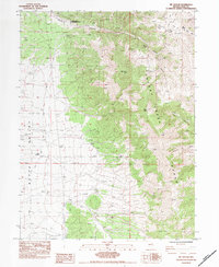
1984 · Mt. Taylor
USGS Topo · 1:24,000
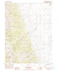
1984 · McDermid Ranch
USGS Topo · 1:24,000

1984 · Delcer Buttes
USGS Topo · 1:24,000
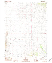
1984 · Palomino Well
USGS Topo · 1:24,000
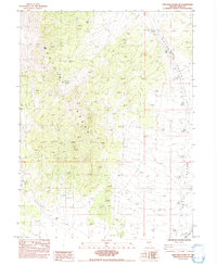
1984 · High Bald Peaks NE
USGS Topo · 1:24,000