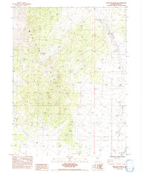
1984 Map of High Bald Peaks NE
USGS Topo · Published 1984About this map
The Medicine Range dominates the western portion of this 1984 survey, characterized by high peaks and high-desert drainage patterns. In the eastern half, the landscape transitions into the flat expanse of Butte Valley, where the terrain levels out significantly. This section of Elko County is marked by its isolation, with a network of 4 WD tracks providing the primary means of navigating the high ground and valley floor.
Find a feature on this map
12 named features on this map. Tap any name to fly to it.
Don’t see what you’re looking for? This feature index may not catch every label — zoom into the map to look around manually.
Map Details
Editions of this 1984 High Bald Peaks NE Map
This is the sole edition of this map. No revisions or reprints were ever made.
Other maps of this area

1955 · Elko
USGS Topo · 1:250,000

1958 · Elko
USGS Topo · 1:250,000

1962 · Elko
USGS Topo · 1:250,000

1965 · Elko
USGS Topo · 1:250,000
1984 · Paris Creek
USGS Topo · 1:24,000
1984 · Mt. Taylor
USGS Topo · 1:24,000
1984 · High Bald Peaks SE
USGS Topo · 1:24,000

1984 · Silo Canyon
USGS Topo · 1:24,000
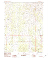
1984 · High Bald Peaks
USGS Topo · 1:24,000
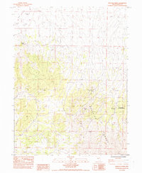
1984 · Medicine Spring
USGS Topo · 1:24,000