
1984 Map of Currie Gardens
USGS Topo · Published 1984About this map
Currie Gardens and the eastern edge of Palomino Ridge anchor this remote Elko County landscape as it appeared in the early 1980s. The area is defined by a series of vital water sources in an arid high-desert environment, ranging from Twin Springs in the north to Moonshine Spring and Thompson Springs further south. Ranching activity is evident through the presence of several Corrals and established outposts like Phalen Creek Ranch and Walker Ranch.
Find a feature on this map
16 named features on this map. Tap any name to fly to it.
Don’t see what you’re looking for? This feature index may not catch every label — zoom into the map to look around manually.
Map Details
Editions of this 1984 Currie Gardens Map
This is the sole edition of this map. No revisions or reprints were ever made.
Other maps of this area

1955 · Elko
USGS Topo · 1:250,000

1958 · Elko
USGS Topo · 1:250,000

1962 · Elko
USGS Topo · 1:250,000

1965 · Elko
USGS Topo · 1:250,000

1982 · Currie
USGS Topo · 1:24,000

1982 · Mizpah
USGS Topo · 1:24,000
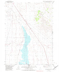
1982 · Goshute Lake North
USGS Topo · 1:24,000
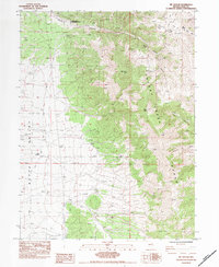
1984 · Mt. Taylor
USGS Topo · 1:24,000

1984 · Silo Canyon
USGS Topo · 1:24,000
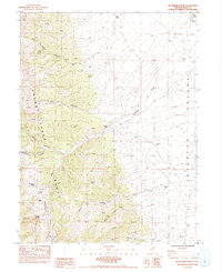
1984 · McDermid Ranch
USGS Topo · 1:24,000