1982 Map of Goshute Lake North
USGS Topo · Published 1982About this map
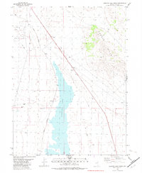
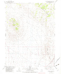
The Nevada Northern railway corridor defines the transportation history of this desert landscape, cutting a diagonal path through the valley west of the Currie Hills. In the center of the sheet, the expansive basin of Goshute Lake serves as a vital hydrological landmark, supported by various Springs, a smaller Spring, and a Flowing Well that indicate the subterranean water sources critical for life in the Great Basin.
Find a feature on this map
12 named features on this map. Tap any name to fly to it.
Don’t see what you’re looking for? This feature index may not catch every label — zoom into the map to look around manually.
Map Details
Editions of this 1982 Goshute Lake North Map
This is the sole edition of this map. No revisions or reprints were ever made.
Other maps of this area

1955 · Elko
USGS Topo · 1:250,000

1958 · Elko
USGS Topo · 1:250,000

1962 · Elko
USGS Topo · 1:250,000

1965 · Elko
USGS Topo · 1:250,000
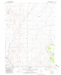
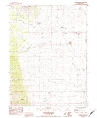
1982 · Currie
USGS Topo · 1:24,000
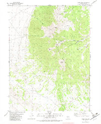
1982 · Sharp Peak
USGS Topo · 1:24,000
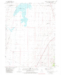
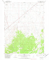
1982 · Goshute Lake South
USGS Topo · 1:24,000
1982 · Goshute Lake NE
USGS Topo · 1:24,000
1982 · Lages Station
USGS Topo · 1:24,000
1984 · Currie Gardens
USGS Topo · 1:24,000