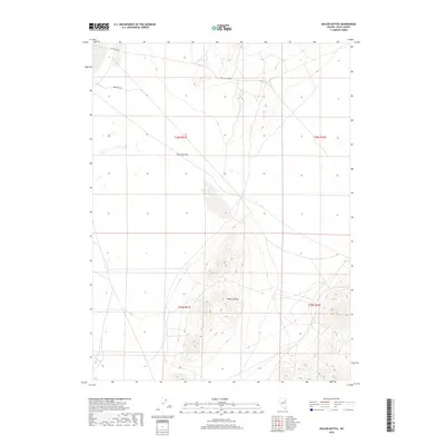
2018 Map of Delcer Buttes
USGS Topo · Published 2018About this map
Delcer Buttes rise as a prominent landform within this high-desert landscape of Elko County, marking the transition between open basins and rugged upland terrain. The map captures the remote character of northeastern Nevada, where infrastructure is defined by long-distance routes like Butte Valley Rd and isolated water sources essential for ranching and survival in the arid environment. A single established water point, Murphys Well, sits in the northern section of the quadrangle, underscoring the scarcity of resources in the region. The presence of Dry Lake Flat indicates the ephemeral nature of local hydrology, where seasonal drainage creates temporary catchments. This 2018 survey provides a clear view of the public land survey system grid, including portions of Township 30 North, Ranges 61 and 62 East, which organizes this sparsely populated territory.
Find a feature on this map
1 named feature on this map. Tap any name to fly to it.
Don’t see what you’re looking for? This feature index may not catch every label — zoom into the map to look around manually.
Map Details
Editions of this 2018 Delcer Buttes Map
This is the sole edition of this map. No revisions or reprints were ever made.
Other maps of this area

1935 · Halleck
USGS Topo · 1:125,000

1953 · Spruce Mountain
USGS Topo · 1:62,500

1955 · Elko
USGS Topo · 1:250,000

1958 · Elko
USGS Topo · 1:250,000

1962 · Elko
USGS Topo · 1:250,000

1965 · Elko
USGS Topo · 1:250,000

1984 · Silo Canyon
USGS Topo · 1:24,000

1984 · West of Delcer Buttes
USGS Topo · 1:24,000

1984 · Valley Mtn
USGS Topo · 1:24,000

1984 · Delcer Buttes
USGS Topo · 1:24,000