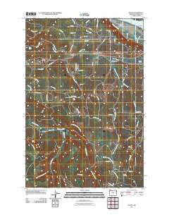
2011 Map of Delena
USGS Topo · Published 2011About this map
Beaver Creek and the Clatskanie River drainage define the landscape of this Columbia County interior, where timber and small-scale agriculture have long shaped local life. Small, dispersed settlements like Delena, Alston, and Apiary are connected by a network of rural roads that follow the winding creek valleys. The presence of the Apiary Cemetery and local education centers such as the Cedar Grove School and Lost Creek School provides a clear view of the area's social history and family settlement patterns.
Find a feature on this map
73 named features on this map. Tap any name to fly to it.
Don’t see what you’re looking for? This feature index may not catch every label — zoom into the map to look around manually.
Map Details
Editions of this 2011 Delena Map
This is the sole edition of this map. No revisions or reprints were ever made.
Other maps of this area
1919 · Mayger
USGS Topo · 1:62,500
1921 · Kalama
USGS Topo · 1:62,500
1922 · St. Helens
USGS Topo · 1:62,500
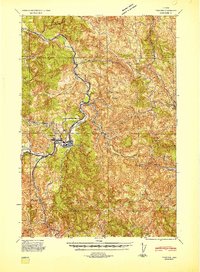
1940 · Vernonia
USGS Topo · 1:62,500
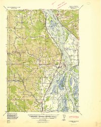
1941 · St Helens
USGS Topo · 1:62,500
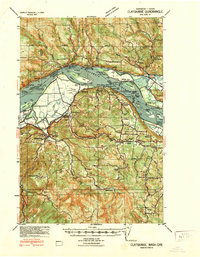
1941 · Clatskanie
USGS Topo · 1:62,500
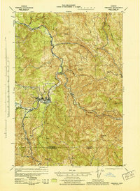
1943 · Vernonia
USGS Topo · 1:62,500
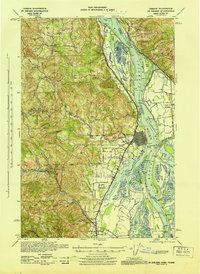
1943 · St Helens
USGS Topo · 1:62,500

1948 · Vancouver
USGS Topo · 1:250,000

1950 · Vancouver
USGS Topo · 1:250,000