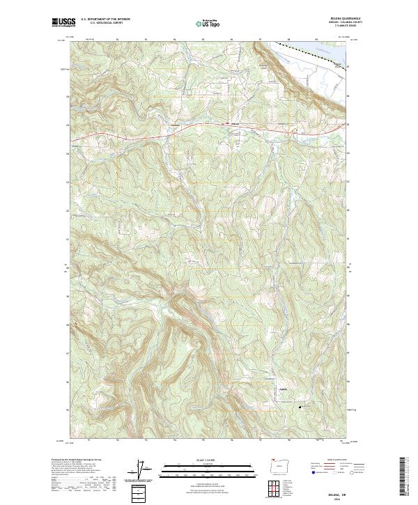
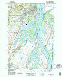
2024 Map of Delena
USGS Topo · Published 2024About this map
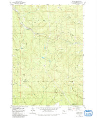
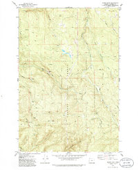
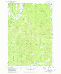
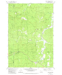
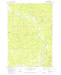
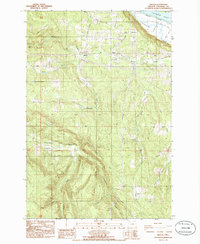
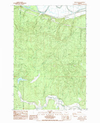
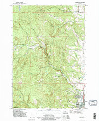
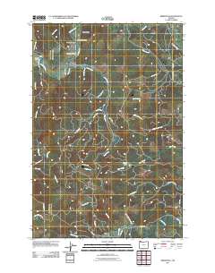
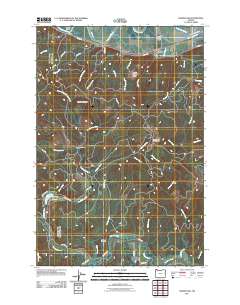
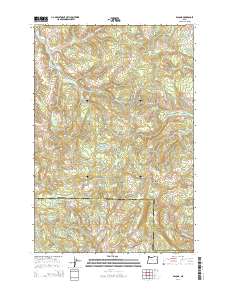
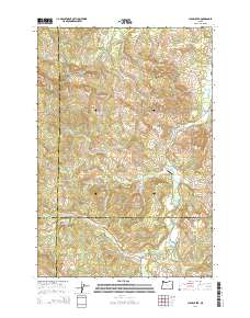
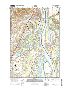
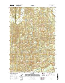
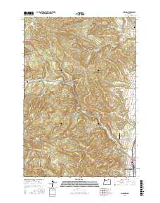
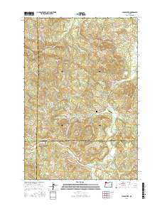
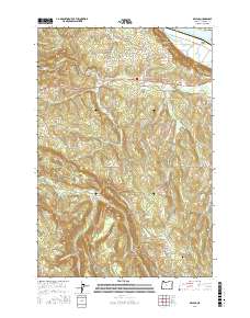
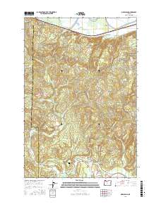
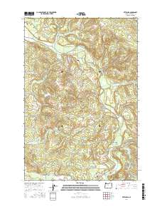
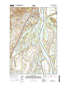
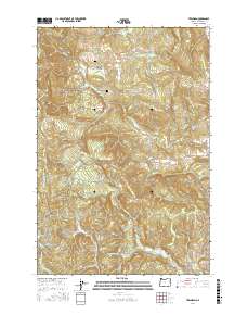
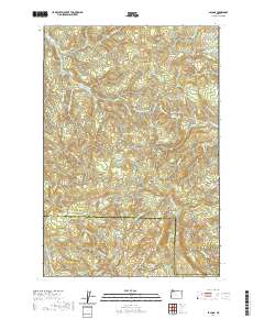
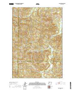
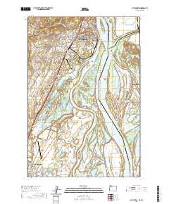
Delena and Alston anchor this stretch of the Columbia County interior, where the landscape transitions from the tidal influence of the Columbia River to the timbered headwaters of the Coast Range. The northern edge is dominated by riverine features like Rinearson Slough and Dibblee Point, while the southern portion reveals a complex network of drainages. The Clatskanie River and its North Fork Clatskanie River carve through the terrain near the settlement of Apiary, which is marked by the Apiary Cem. Transport routes such as Old US Hwy 30 and Beaver Falls Rd follow the natural contours of the land, connecting these upland communities. The map provides a detailed view of the watershed divide between Beaver Creek and the southern-flowing tributaries, reflecting a rural landscape defined by its waterways and winding valley roads.
Find a feature on this map
69 named features on this map. Tap any name to fly to it.
Don’t see what you’re looking for? This feature index may not catch every label — zoom into the map to look around manually.
Map Details
Editions of this 2024 Delena Map
This is the sole edition of this map. No revisions or reprints were ever made.
Historical Maps of Apiary Through Time
67 maps found

1919 Mayger
Columbia County, OR

1941 St Helens
Columbia County, OR

1943 St Helens
Columbia County, OR
1954 St Helens
Columbia County, OR
1971 Chapman
Columbia County, OR
1971 Trenholm
Columbia County, OR
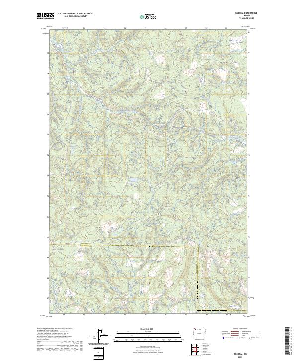
1979 Bacona
Columbia County, OR
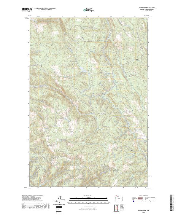
1979 Baker Point
Columbia County, OR
1979 Birkenfeld
Columbia County, OR
1979 Clear Creek
Columbia County, OR
1979 Pittsburg
Columbia County, OR
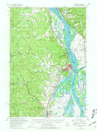
1985 Delena
Columbia County, OR
1985 Marshland
Columbia County, OR
1990 Chapman
Columbia County, OR
1990 Saint Helens
Columbia County, OR
1990 Trenholm
Columbia County, OR
2011 Bacona
Columbia County, OR
2011 Baker Point
Columbia County, OR
2011 Birkenfeld
Columbia County, OR
2011 Chapman
Columbia County, OR
2011 Clear Creek
Columbia County, OR
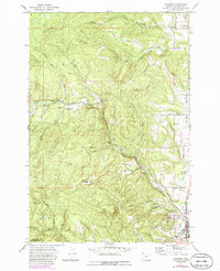
2011 Delena
Columbia County, OR
2011 Marshland
Columbia County, OR
2011 Pittsburg
Columbia County, OR
2011 Saint Helens
Columbia County, OR
2011 Trenholm
Columbia County, OR
2014 Bacona
Columbia County, OR
2014 Baker Point
Columbia County, OR
2014 Birkenfeld
Columbia County, OR
2014 Chapman
Columbia County, OR
2014 Clear Creek
Columbia County, OR
2014 Delena
Columbia County, OR
2014 Marshland
Columbia County, OR
2014 Pittsburg
Columbia County, OR
2014 Saint Helens
Columbia County, OR
2014 Trenholm
Columbia County, OR
2017 Bacona
Columbia County, OR
2017 Baker Point
Columbia County, OR
2017 Birkenfeld
Columbia County, OR
2017 Chapman
Columbia County, OR
2017 Clear Creek
Columbia County, OR
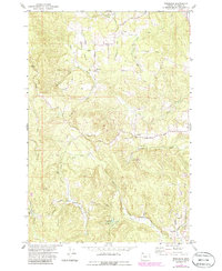
2017 Delena
Columbia County, OR
2017 Marshland
Columbia County, OR
2017 Pittsburg
Columbia County, OR
2017 Saint Helens
Columbia County, OR
2017 Trenholm
Columbia County, OR
2020 Bacona
Columbia County, OR
2020 Baker Point
Columbia County, OR
2020 Birkenfeld
Columbia County, OR
2020 Chapman
Columbia County, OR
2020 Clear Creek
Columbia County, OR
2020 Delena
Columbia County, OR
2020 Marshland
Columbia County, OR
2020 Pittsburg
Columbia County, OR
2020 Saint Helens
Columbia County, OR
2020 Trenholm
Columbia County, OR
2023 Bacona
Columbia County, OR
2023 Baker Point
Columbia County, OR
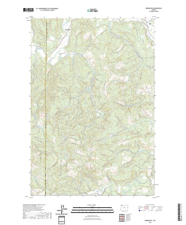
2023 Birkenfeld
Columbia County, OR
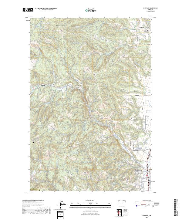
2023 Chapman
Columbia County, OR
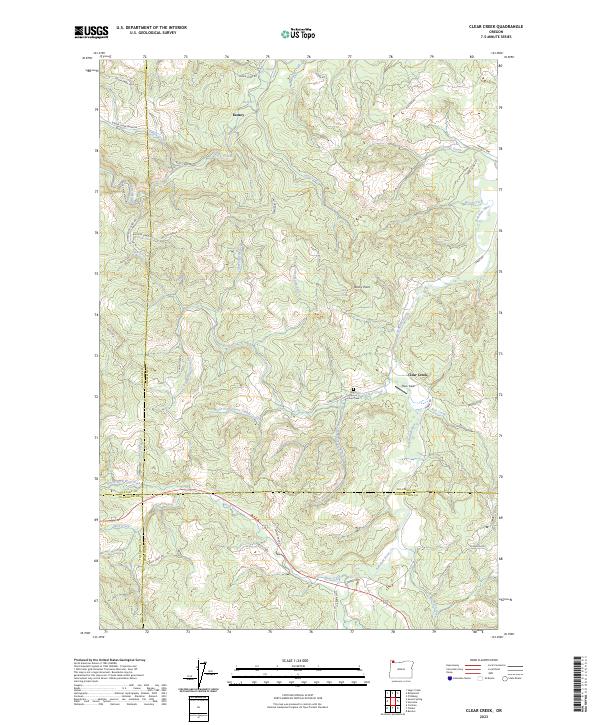
2023 Clear Creek
Columbia County, OR
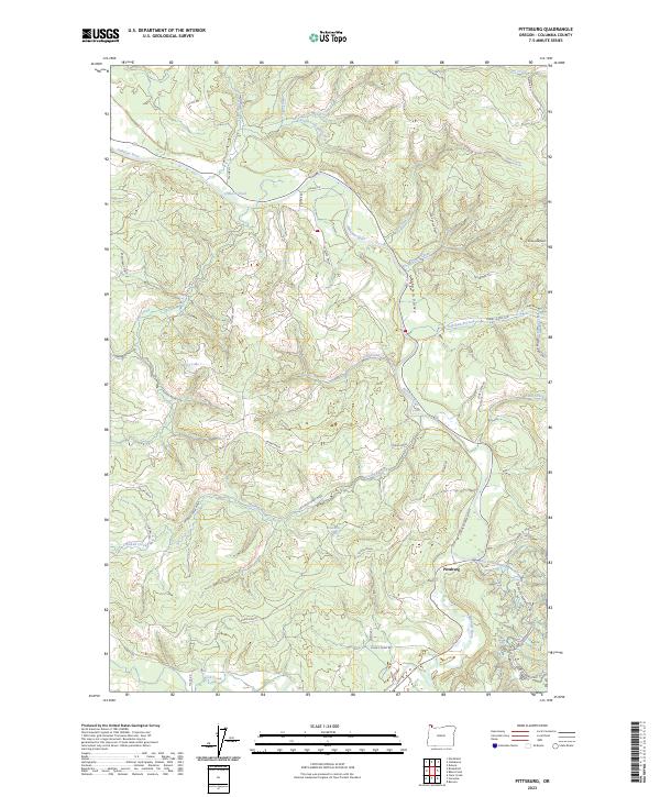
2023 Pittsburg
Columbia County, OR
2023 Saint Helens
Columbia County, OR
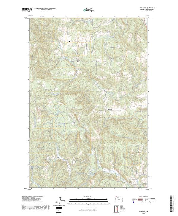
2023 Trenholm
Columbia County, OR
2024 Delena
Columbia County, OR
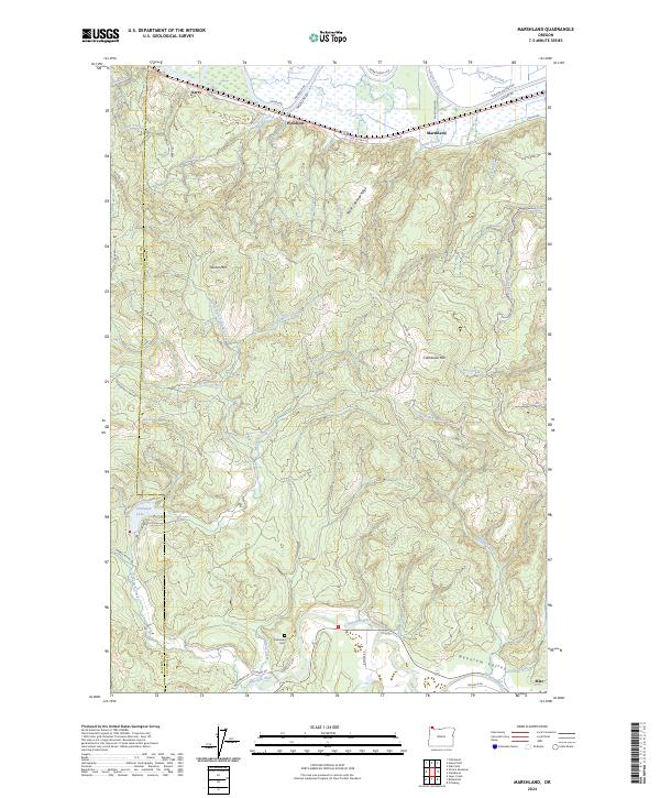
2024 Marshland
Columbia County, OR
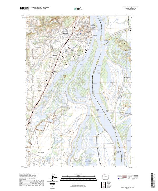
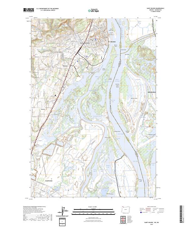
2024 Saint Helens
Columbia County, OR