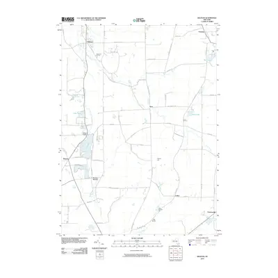
2010 Map of Delevan
USGS Topo · Published 2010About this map
Delevan and its surrounding hamlets occupy a landscape shaped by glacial topography and late-twentieth-century infrastructure. The village of Machias serves as a southern anchor, notably featuring Machias Junction where local transport routes converged. Significant water features define the drainage patterns of the area, including Lime Lake and its associated Lime Lake Outlet, along with the winding course of Elton Creek which flows near the community of Elton.
Find a feature on this map
70 named features on this map. Tap any name to fly to it.
Don’t see what you’re looking for? This feature index may not catch every label — zoom into the map to look around manually.
Map Details
Editions of this 2010 Delevan Map
This is the sole edition of this map. No revisions or reprints were ever made.
Other maps of this area

1923 · Arcade
USGS Topo · 1:62,500

1924 · Ellicottville
USGS Topo · 1:62,500

1924 · Franklinville
USGS Topo · 1:62,500

1925 · Springville
USGS Topo · 1:62,500

1925 · Arcade
USGS Topo · 1:62,500

1941 · Ellicottville
USGS Topo · 1:62,500

1942 · Franklinville
USGS Topo · 1:62,500

1957 · Sardinia
USGS Topo · 1:24,000

1960 · Buffalo
USGS Topo · 1:250,000

1962 · Buffalo
USGS Topo · 1:250,000