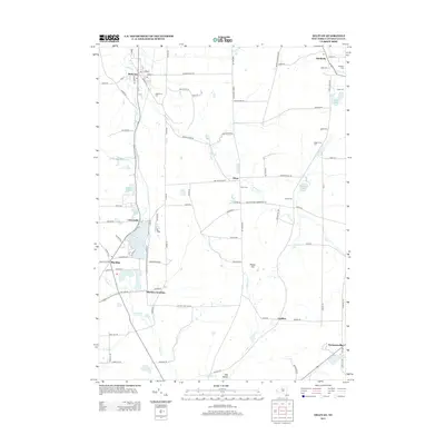
2013 Map of Delevan
USGS Topo · Published 2013About this map
Lime Lake serves as a central geographic anchor in this Cattaraugus County landscape, surrounded by the established settlements of Delevan, Machias, and Machias Junction. The area’s genealogical record is well-preserved through several burial grounds, including Maplehurst Cem and Siloam Cem. The terrain is defined by the drainage of Ischua Cr and Elton Cr, which shape the rural valley floor between elevations like Pigeon Hill.
Find a feature on this map
105 named features on this map. Tap any name to fly to it.
Don’t see what you’re looking for? This feature index may not catch every label — zoom into the map to look around manually.
Map Details
Editions of this 2013 Delevan Map
This is the sole edition of this map. No revisions or reprints were ever made.
Other maps of this area

1923 · Arcade
USGS Topo · 1:62,500

1924 · Ellicottville
USGS Topo · 1:62,500

1924 · Franklinville
USGS Topo · 1:62,500

1925 · Springville
USGS Topo · 1:62,500

1925 · Arcade
USGS Topo · 1:62,500

1941 · Ellicottville
USGS Topo · 1:62,500

1942 · Franklinville
USGS Topo · 1:62,500

1957 · Sardinia
USGS Topo · 1:24,000

1960 · Buffalo
USGS Topo · 1:250,000

1962 · Buffalo
USGS Topo · 1:250,000