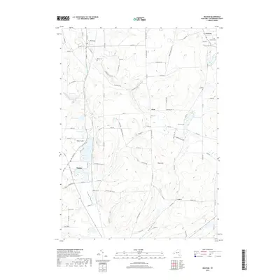
2019 Map of Delevan
USGS Topo · Published 2019About this map
Delevan and Machias anchor the Western New York landscape in this modern record of Cattaraugus County. The terrain is defined by the broad Ischua Valley and the prominent height of Pigeon Hill, with the waters of Lime Lake serving as a significant geographical marker for the region. The map preserves the locations of several small crossroads communities such as Elton, Sandusky, and Laidlaw, each connected by a network of rural routes like Co Rd 73 and Delevan Elton Rd.
Find a feature on this map
96 named features on this map. Tap any name to fly to it.
Don’t see what you’re looking for? This feature index may not catch every label — zoom into the map to look around manually.
Map Details
Editions of this 2019 Delevan Map
This is the sole edition of this map. No revisions or reprints were ever made.
Other maps of this area

1923 · Arcade
USGS Topo · 1:62,500

1924 · Ellicottville
USGS Topo · 1:62,500

1924 · Franklinville
USGS Topo · 1:62,500

1925 · Springville
USGS Topo · 1:62,500

1925 · Arcade
USGS Topo · 1:62,500

1941 · Ellicottville
USGS Topo · 1:62,500

1942 · Franklinville
USGS Topo · 1:62,500

1957 · Sardinia
USGS Topo · 1:24,000

1960 · Buffalo
USGS Topo · 1:250,000

1962 · Buffalo
USGS Topo · 1:250,000