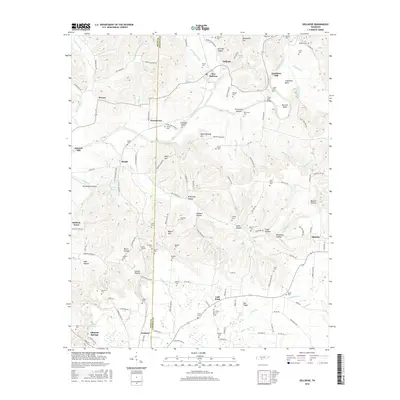
2016 Map of Dellrose
USGS Topo · Published 2016About this map
The Elk River winds through the borderlands of Giles and Lincoln counties, defining a landscape marked by longstanding milling sites and small agricultural crossroads. Rural life centers on settlements such as Dellrose, Wheelerton, and Baugh, where the terrain transitions from the river bottom to prominent rises like Meetinghouse Hill and Mansfield Hill. The presence of Hamilton Mill and Morrell Mill highlights the importance of the local waterways in powering the early industry of this region.
Find a feature on this map
157 named features on this map. Tap any name to fly to it.
Don’t see what you’re looking for? This feature index may not catch every label — zoom into the map to look around manually.
Map Details
Editions of this 2016 Dellrose Map
This is the sole edition of this map. No revisions or reprints were ever made.
Other maps of this area

1888 · Huntsville
USGS Topo · 1:125,000

1892 · Huntsville
USGS Topo · 1:125,000

1936 · Taft
USGS Topo · 1:24,000

1936 · Boonshill
USGS Topo · 1:24,000

1936 · Elkmont
USGS Topo · 1:24,000

1936 · Ardmore
USGS Topo · 1:24,000

1936 · Toney
USGS Topo · 1:24,000

1936 · Tarpley
USGS Topo · 1:24,000

1936 · Elkton
USGS Topo · 1:24,000

1936 · Frankewing
USGS Topo · 1:24,000