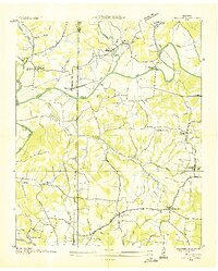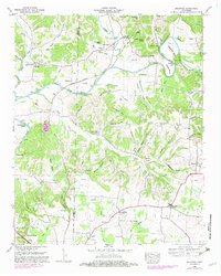
1948 Map of Dellrose
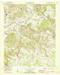
USGS Topo · Published 1982About this map
The Elk River defines the geography of this rural Tennessee landscape, its broad bends at Cheatham Bend and Mitchell Bend anchoring a network of creek-side settlements. Agricultural life in the late 1940s centered around small communities like Dellrose and Blanche, with the Louisville and Nashville railroad providing a vital corridor through Wheelerton and the valley. Local industry and social hubs are well-documented, from the Hamilton Mill and Morrell Mill to spiritual landmarks like Washington Temple and the Bee Spring Memorial Ch.
Find a feature on this map
84 named features on this map. Tap any name to fly to it.
Don’t see what you’re looking for? This feature index may not catch every label — zoom into the map to look around manually.
Map Details
Editions of this 1948 Dellrose Map
This is the sole edition of this map. No revisions or reprints were ever made.
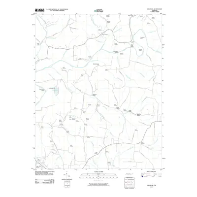
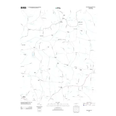
Historical Maps of New Dellrose Through Time
8 maps found