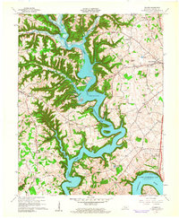
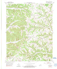
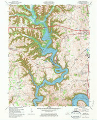
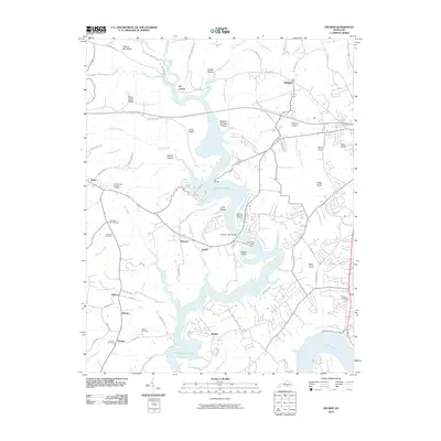
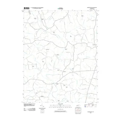
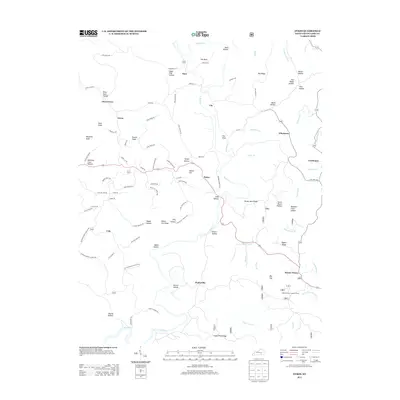
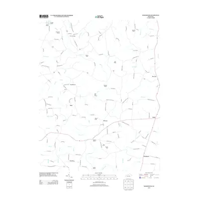
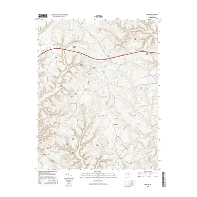
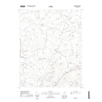
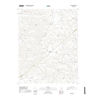
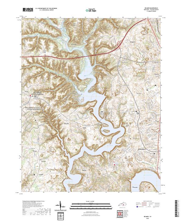
1961 Map of Delmer
USGS Topo · Published 1962About this map
Fishing Creek Lake Cumberland dominates this Pulaski County landscape, its sprawling reach creating a complex shoreline that defines local life and travel in the early 1960s. The impounded waters of the Cumberland River snake through deep hollows like Sulphur Springs Hollow and around prominent heights such as Potato Knoll and Wait Knob. This era shows a community in transition, where new recreation spots like Pulaski County Park and Lees Ford Dock sit alongside long-established settlements such as Nancy, Delmer, and Ringgold.
Find a feature on this map
64 named features on this map. Tap any name to fly to it.
Don’t see what you’re looking for? This feature index may not catch every label — zoom into the map to look around manually.
Map Details
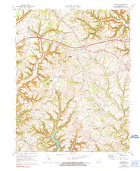
Editions of this 1961 Delmer Map
This is the sole edition of this map. No revisions or reprints were ever made.
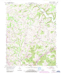
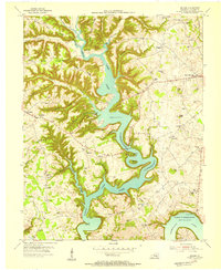
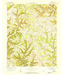
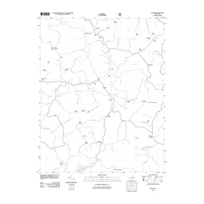
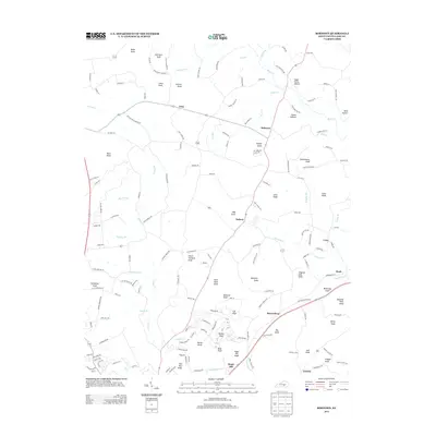
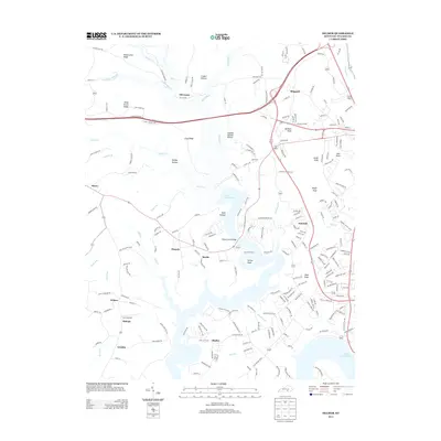
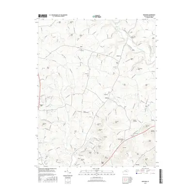
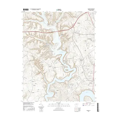
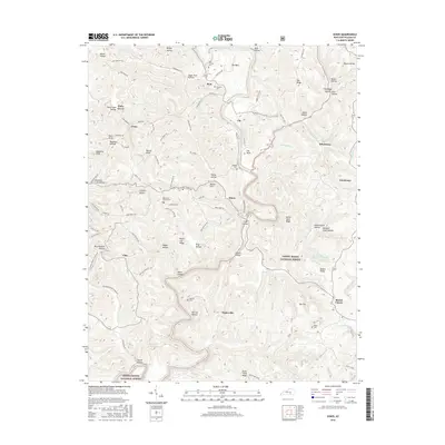
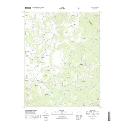
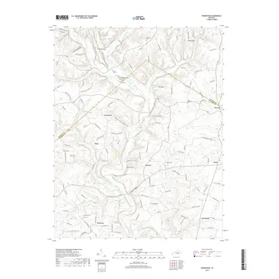
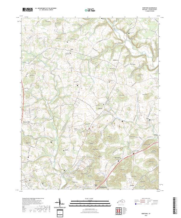
Historical Maps of Somerset Through Time
46 maps found
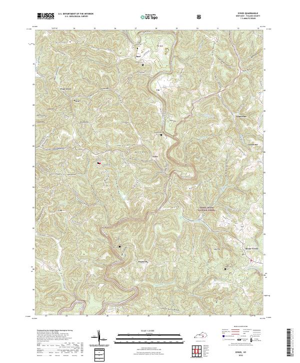
1952 Dykes
Pulaski County, KY
1952 Shopville
Pulaski County, KY
1952 Woodstock
Pulaski County, KY
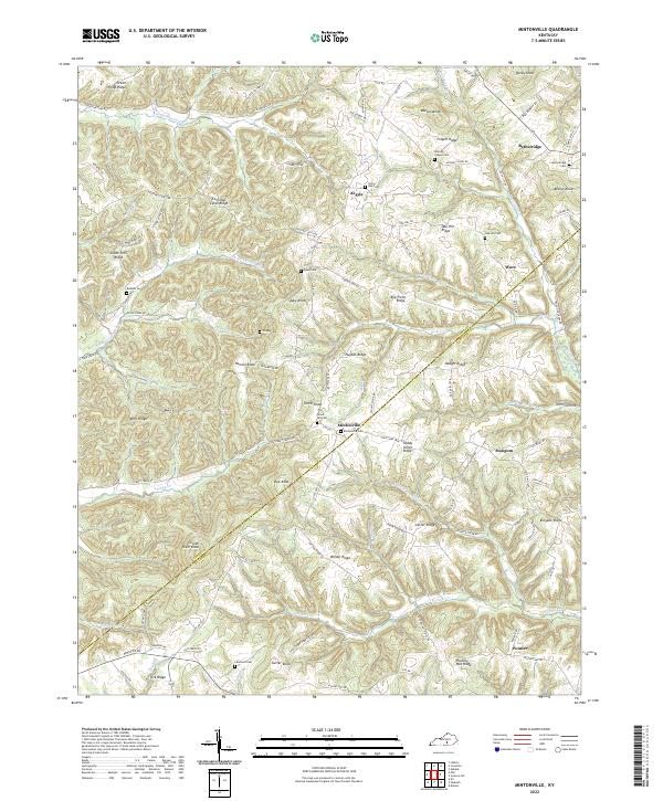
1953 Mintonville
Pulaski County, KY
1954 Bobtown
Pulaski County, KY
1954 Delmer
Pulaski County, KY
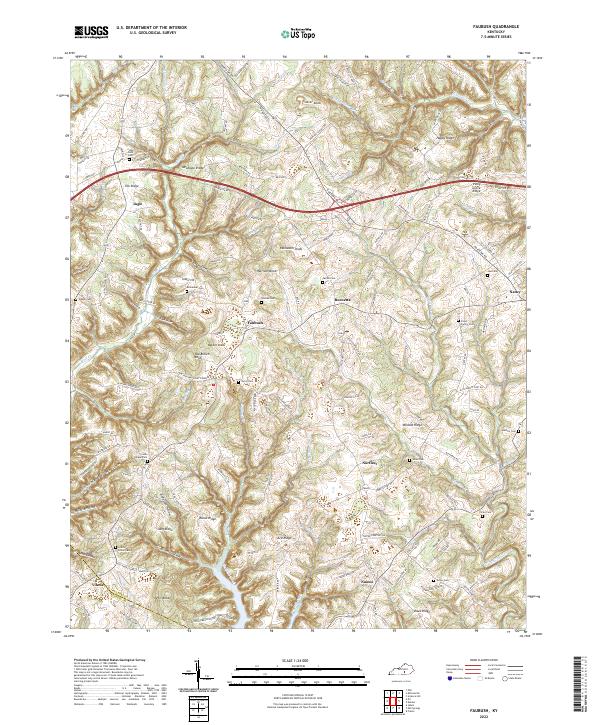
1954 Faubush
Pulaski County, KY
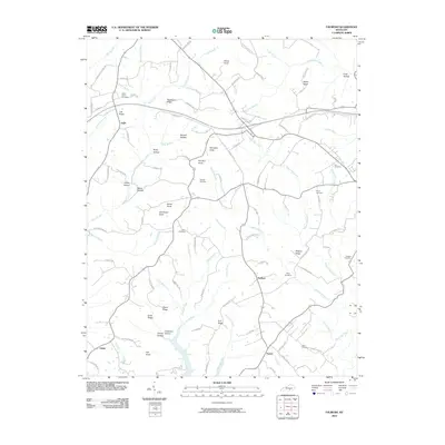
1961 Delmer
Pulaski County, KY
1973 Delmer
Pulaski County, KY
1973 Faubush
Pulaski County, KY
1979 Dykes
Pulaski County, KY
2010 Bobtown
Pulaski County, KY
2010 Delmer
Pulaski County, KY
2010 Faubush
Pulaski County, KY
2010 Mintonville
Pulaski County, KY
2010 Shopville
Pulaski County, KY
2010 Woodstock
Pulaski County, KY
2011 Dykes
Pulaski County, KY
2013 Bobtown
Pulaski County, KY
2013 Delmer
Pulaski County, KY
2013 Dykes
Pulaski County, KY
2013 Faubush
Pulaski County, KY
2013 Mintonville
Pulaski County, KY
2013 Shopville
Pulaski County, KY
2013 Woodstock
Pulaski County, KY
2016 Bobtown
Pulaski County, KY
2016 Delmer
Pulaski County, KY
2016 Dykes
Pulaski County, KY
2016 Faubush
Pulaski County, KY
2016 Mintonville
Pulaski County, KY
2016 Shopville
Pulaski County, KY
2016 Woodstock
Pulaski County, KY
2019 Bobtown
Pulaski County, KY
2019 Delmer
Pulaski County, KY
2019 Dykes
Pulaski County, KY
2019 Faubush
Pulaski County, KY
2019 Mintonville
Pulaski County, KY
2019 Shopville
Pulaski County, KY
2019 Woodstock
Pulaski County, KY
2022 Bobtown
Pulaski County, KY
2022 Delmer
Pulaski County, KY
2022 Dykes
Pulaski County, KY
2022 Faubush
Pulaski County, KY
2022 Mintonville
Pulaski County, KY
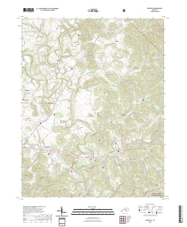
2022 Shopville
Pulaski County, KY
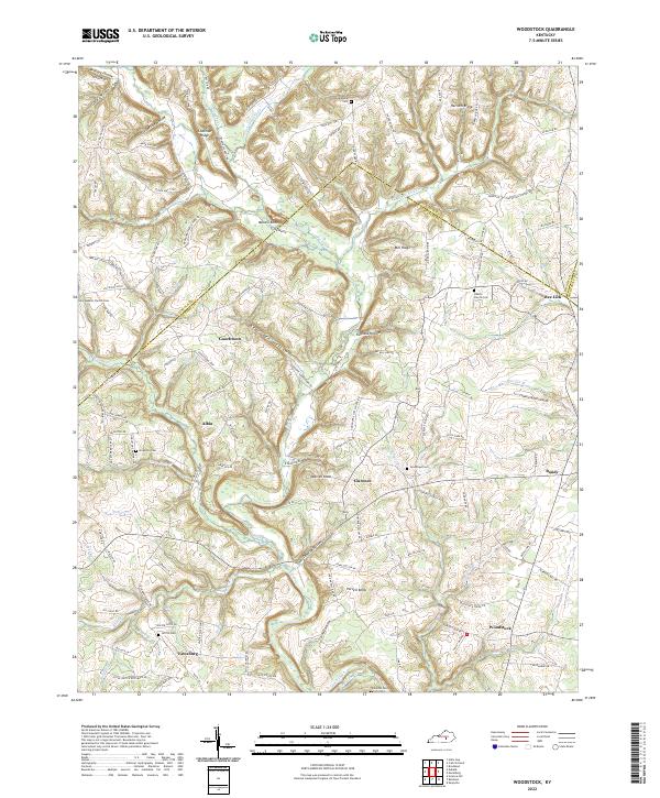
2022 Woodstock
Pulaski County, KY