2021 Map of Delmont
USGS Topo · Published 2021About this map
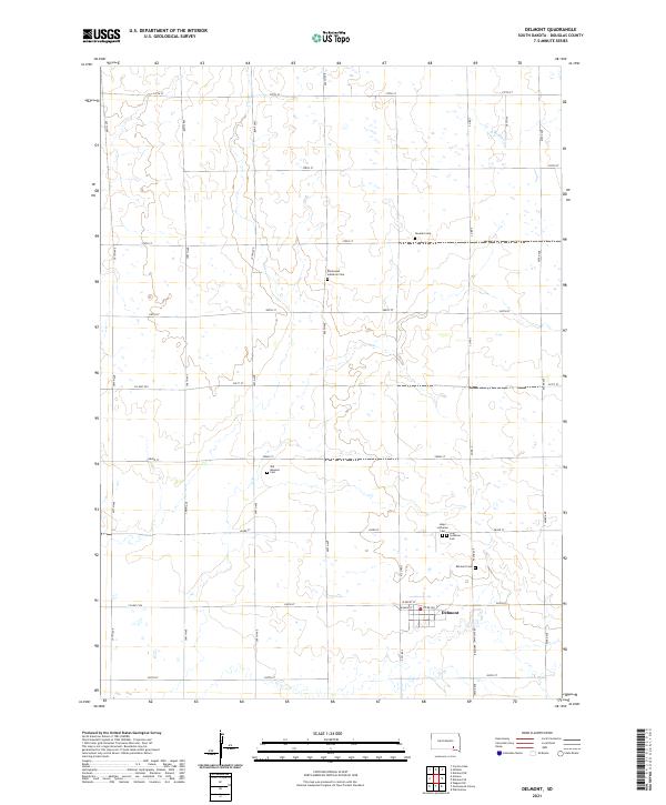
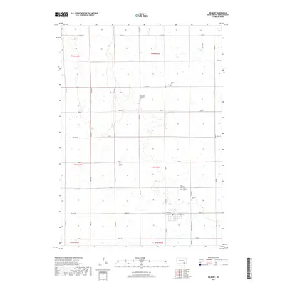
Delmont serves as the primary hub for this section of Douglas County, showing a classic Great Plains township-and-range layout. The agricultural landscape is defined by an extensive grid of section-line roads, including 400th Ave and 280th St, which connect various family farmsteads and rural properties. The drainage of N Br Dry Cr weaves through the northern sections, providing natural relief to the otherwise geometric terrain. For genealogists, the map is a significant resource, as it locates several denominational and community burial grounds scattered across the townships. These sites, such as Emmanuel Lutheran Cem, Old Missouri Cem, and Neusatz Cem, reflect the ethnic and religious heritage of the early settlers who established these prairie communities.
Find a feature on this map
38 named features on this map. Tap any name to fly to it.
Don’t see what you’re looking for? This feature index may not catch every label — zoom into the map to look around manually.
Map Details
Editions of this 2021 Delmont Map
This is the sole edition of this map. No revisions or reprints were ever made.
Historical Maps of Delmont Through Time
5 maps found
Featured Locations
- Independence Township, SD
- Valley Township, SD
- Belmont Township, SD
- East Choteau Township, SD
- Delmont, Belmont Township