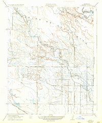
1922 Map of Delta Ranch
USGS Topo · Published 1933About this map
San Joaquin River hydrology dominates this Merced County landscape, where the intricate drainage of San Jon de Santa Rita defines the agricultural and ranching patterns of the early 20th century. The map illustrates a transitional period when the vast land holdings were segmented into specific operations like Delta Ranch, Midway Ranch, and Arroyo Farm. The hydraulic complexity of the region is evident in the winding courses of Pick Anderson Slough, Santa Rita Slough, and Poso Slough, which interact with a developing network of irrigation and transport.
Find a feature on this map
13 named features on this map. Tap any name to fly to it.
Don’t see what you’re looking for? This feature index may not catch every label — zoom into the map to look around manually.
Map Details
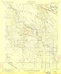
Editions of this 1922 Delta Ranch Map
2 editions found
Other maps of this area

1913 · Panoche
USGS Topo · 1:125,000

1916 · Santa Rita Bridge
USGS Topo · 1:24,000

1916 · Delta Ranch
USGS Topo · 1:24,000

1918 · Sandy Mush
USGS Topo · 1:31,680

1918 · Turner Ranch
USGS Topo · 1:31,680

1919 · San Luis Ranch
USGS Topo · 1:31,680

1920 · Santa Rita Bridge
USGS Topo · 1:31,680

1921 · Los Banos
USGS Topo · 1:31,680

1922 · Oxalis
USGS Topo · 1:31,680

1922 · Santa Rita Bridge
USGS Topo · 1:31,680