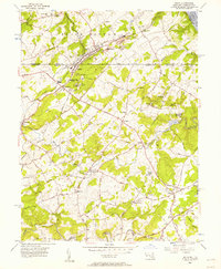
1956 Map of Delta
USGS Topo · Published 1957About this map
The Maryland and Pennsylvania Railroad anchors this mid-century survey, cutting diagonally across the landscape and connecting the sister towns of Delta and Cardiff. This corridor along the Pennsylvania-Maryland state line is defined by Slate Ridge, where numerous quarries signify the region's industrial heritage in slate production. Moving south into Harford County, the terrain softens into a network of small agricultural settlements like Whiteford, Pylesville, and Dublin.
Find a feature on this map
52 named features on this map. Tap any name to fly to it.
Don’t see what you’re looking for? This feature index may not catch every label — zoom into the map to look around manually.
Map Details
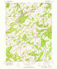
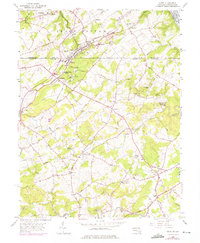
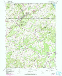
Editions of this 1956 Delta Map
4 editions found
Other maps of this area

1900 · Havre De Grace
USGS Topo · 1:62,500

1901 · Belair
USGS Topo · 1:62,500

1912 · Quarryville
USGS Topo · 1:62,500

1912 · Mc Calls Ferry
USGS Topo · 1:62,500

1942 · Havre De Grace
USGS Topo · 1:62,500

1942 · Bel Air
USGS Topo · 1:62,500

1943 · Quarryville
USGS Topo · 1:62,500

1943 · Mc Calls Ferry
USGS Topo · 1:62,500

1945 · Bel Air
USGS Topo · 1:62,500

1948 · Baltimore
USGS Topo · 1:250,000
Featured Places
- Delta, PA
- Shawnee, MD
- Peach Bottom Township, PA
- Delta Ridge, Peach Bottom Township
- Slate Hill, Peach Bottom Township