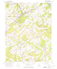
1956 Map of Delta
USGS Topo · Published 1975About this map
Peach Bottom and the surrounding borderlands of York and Harford counties are defined by a complex network of ridges and rural crossroads in the mid-1950s. The Mason and Dixon Line bisects the map, separating the twin settlements of Delta and Cardiff. This international boundary is bridged by the Maryland and Pennsylvania Railroad, which snakes through the landscape past Whiteford and several slate quarries, highlighting the region's industrial heritage.
Find a feature on this map
84 named features on this map. Tap any name to fly to it.
Don’t see what you’re looking for? This feature index may not catch every label — zoom into the map to look around manually.
Map Details
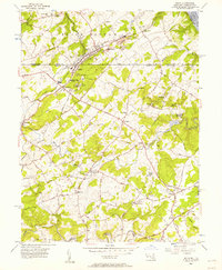
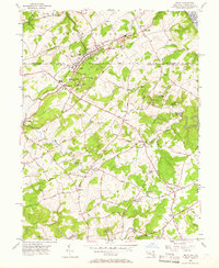
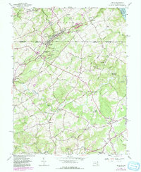
Editions of this 1956 Delta Map
4 editions found
Other maps of this area

1900 · Havre De Grace
USGS Topo · 1:62,500

1901 · Belair
USGS Topo · 1:62,500

1912 · Quarryville
USGS Topo · 1:62,500

1912 · Mc Calls Ferry
USGS Topo · 1:62,500

1942 · Havre De Grace
USGS Topo · 1:62,500

1942 · Bel Air
USGS Topo · 1:62,500

1943 · Quarryville
USGS Topo · 1:62,500

1943 · Mc Calls Ferry
USGS Topo · 1:62,500

1945 · Bel Air
USGS Topo · 1:62,500

1948 · Baltimore
USGS Topo · 1:250,000
Featured Places
- Delta, PA
- Shawnee, MD
- Peach Bottom Township, PA
- Delta Ridge, Peach Bottom Township
- Slate Hill, Peach Bottom Township