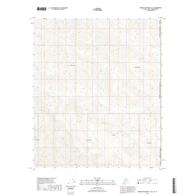
2018 Map of Demarcation Point A-1 SE
USGS Topo · Published 2018About this map
Park Peak dominates the southern reaches of this arctic landscape, rising as a prominent high point in a territory defined by deep drainage patterns and steep elevation changes. This portion of the North Slope Borough shows the course of Aspen Cr, which winds through the central and eastern sections of the quadrangle. The map documents the intricate Public Land Survey System grid, including boundaries for t4s r46e and t5s r46e, illustrating how the remote wilderness was systematically partitioned even in areas without permanent settlements or roads. The international boundary with the United States border is marked along the eastern edge, situating this terrain at the very fringe of the North American continent.
Find a feature on this map
10 named features on this map. Tap any name to fly to it.
Don’t see what you’re looking for? This feature index may not catch every label — zoom into the map to look around manually.
Map Details
Editions of this 2018 Demarcation Point A-1 SE Map
This is the sole edition of this map. No revisions or reprints were ever made.
Other maps of this area

1951 · Demarcation Point
USGS Topo · 1:250,000

1951 · Table Mountain
USGS Topo · 1:250,000

1955 · Demarcation Point
USGS Topo · 1:250,000

1956 · Table Mountain
USGS Topo · 1:250,000

1964 · Table Mountain
USGS Topo · 1:250,000

1964 · Demarcation Point
USGS Topo · 1:250,000

1983 · Table Mountain D-1
USGS Topo · 1:63,360
1983 · Demarcation Point A-1
USGS Topo · 1:63,360
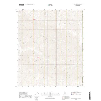
2018 · Demarcation Point A-1 NE
USGS Topo · 1:25,000
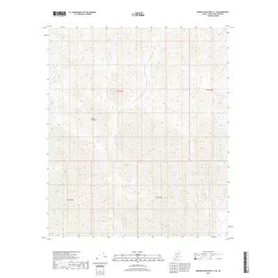
2018 · Demarcation Point A-1 SW
USGS Topo · 1:25,000