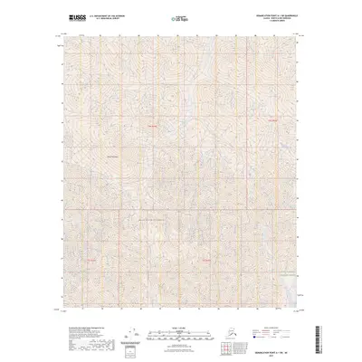
2023 Map of Demarcation Point A-1 SW
USGS Topo · Published 2023About this map
British Mountains define the high terrain of this portion of the North Slope, where the land remains a protected wilderness within the Mollie Beattie Wilderness. This 2023 survey documents a landscape dominated by natural drainages and steep topography, largely contained within the broader boundaries of the Arctic National Wildlife Refuge. The map traces the paths of Joe Creek and Aspen Creek as they cut through the range, illustrating the fundamental hydrological patterns of the far north. With no roads or permanent human settlements indicated, the map focuses on the raw physical geography and the administrative boundaries of these massive conservation areas. It serves as a modern record of one of the most intact ecological regions in North America, where the lack of development highlights the enduring character of the Alaskan interior.
Find a feature on this map
9 named features on this map. Tap any name to fly to it.
Don’t see what you’re looking for? This feature index may not catch every label — zoom into the map to look around manually.
Map Details
Editions of this 2023 Demarcation Point A-1 SW Map
This is the sole edition of this map. No revisions or reprints were ever made.
Other maps of this area

1951 · Demarcation Point
USGS Topo · 1:250,000

1951 · Table Mountain
USGS Topo · 1:250,000

1955 · Demarcation Point
USGS Topo · 1:250,000

1956 · Table Mountain
USGS Topo · 1:250,000

1964 · Table Mountain
USGS Topo · 1:250,000

1964 · Demarcation Point
USGS Topo · 1:250,000

1983 · Table Mountain D-2
USGS Topo · 1:63,360

1983 · Demarcation Point A-2
USGS Topo · 1:63,360

1983 · Table Mountain D-1
USGS Topo · 1:63,360
1983 · Demarcation Point A-1
USGS Topo · 1:63,360