
1983 Map of Demarcation Point A-2
USGS Topo · Published 1983About this map
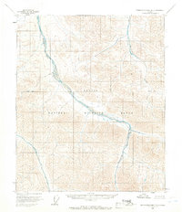
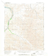
The British Mountains dominate this high-latitude terrain within the Arctic National Wildlife Refuge. Based on 1974 aerial photography, the survey tracks the course of the Kongakut River as it winds through the northern reaches of the Arctic Wildlife Refuge Wilderness. This remote landscape is defined by dramatic elevation changes, with peaks such as Mount Greenough rising above the valley floors. Drainage patterns are established by smaller tributaries like Drain Creek, showing the natural hydrology of the North Slope before any significant human development. The map represents a pristine environment designated for conservation, capturing the geography of one of the most northerly points in the United States.
Find a feature on this map
6 named features on this map. Tap any name to fly to it.
Don’t see what you’re looking for? This feature index may not catch every label — zoom into the map to look around manually.
Map Details
Editions of this 1983 Demarcation Point A-2 Map
This is the sole edition of this map. No revisions or reprints were ever made.
Other maps of this area

1951 · Demarcation Point
USGS Topo · 1:250,000

1951 · Table Mountain
USGS Topo · 1:250,000

1955 · Demarcation Point
USGS Topo · 1:250,000

1956 · Table Mountain
USGS Topo · 1:250,000
1956 · Demarcation Point B-3
USGS Topo · 1:63,360

1956 · Demarcation Point B-2
USGS Topo · 1:63,360
1956 · Demarcation Point B-1
USGS Topo · 1:63,360

1964 · Table Mountain
USGS Topo · 1:250,000

1964 · Demarcation Point
USGS Topo · 1:250,000

1983 · Table Mountain D-2
USGS Topo · 1:63,360