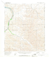
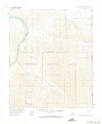
1956 Map of Demarcation Point B-1
USGS Topo · Published 1966About this map
The Arctic National Wildlife Range dominates this 1956 survey of the northern frontier, capturing a landscape defined by its network of glacial rivers and the formidable Whale Mountain. This era of mapping was conducted via aerial photogrammetry, recording the serpentine paths of the Kongakut River and its tributaries, including the Paulaluk River and Pagilak River.
Find a feature on this map
8 named features on this map. Tap any name to fly to it.
Don’t see what you’re looking for? This feature index may not catch every label — zoom into the map to look around manually.
Map Details
Editions of this 1956 Demarcation Point B-1 Map
2 editions found
Other maps of this area

1951 · Demarcation Point
USGS Topo · 1:250,000

1955 · Demarcation Point
USGS Topo · 1:250,000
1955 · Demarcation Point C-1
USGS Topo · 1:63,360

1955 · Demarcation Point C-2
USGS Topo · 1:63,360

1956 · Demarcation Point B-2
USGS Topo · 1:63,360

1964 · Demarcation Point
USGS Topo · 1:250,000

1983 · Demarcation Point A-2
USGS Topo · 1:63,360
1983 · Demarcation Point A-1
USGS Topo · 1:63,360
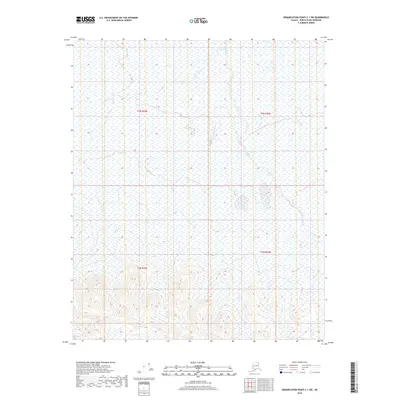
2018 · Demarcation Point C-1 SW
USGS Topo · 1:25,000
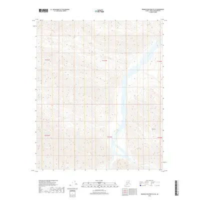
2018 · Demarcation Point B-2 SE
USGS Topo · 1:25,000