
1955 Map of Demarcation Point C-2
USGS Topo · Published 1970About this map
The Arctic National Wildlife Range dominates this mid-century survey, capturing a complex network of braided rivers and coastal lagoons on Alaska's North Slope. The landscape is defined by the massive drainage of the Kongakut River, which flows northward alongside numerous smaller watercourses like Kalokut Creek and the Ekaluakat River. These glacial-fed streams create a dense web of gravel bars and shifting channels typical of the Arctic coastal plain. Near the northern edge, the freshwater systems meet the sea at Siku Lagoon, while isolated topographic markers like Gwen and Dar stand out amidst the unsurveyed terrain. Compiled from 1955 aerial photography by the Army Map Service, the map reflects a period of systematic inventory for this remote wilderness before it became a focal point of environmental preservation.
Find a feature on this map
11 named features on this map. Tap any name to fly to it.
Don’t see what you’re looking for? This feature index may not catch every label — zoom into the map to look around manually.
Map Details
Editions of this 1955 Demarcation Point C-2 Map
This is the sole edition of this map. No revisions or reprints were ever made.
Other maps of this area

1951 · Demarcation Point
USGS Topo · 1:250,000

1955 · Demarcation Point
USGS Topo · 1:250,000

1955 · Demarcation Point D-3
USGS Topo · 1:63,360
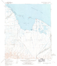
1955 · Demarcation Point C-1
USGS Topo · 1:63,360

1955 · Demarcation Point D-2
USGS Topo · 1:63,360

1955 · Demarcation Point C-3
USGS Topo · 1:63,360
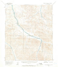
1956 · Demarcation Point B-3
USGS Topo · 1:63,360

1956 · Demarcation Point B-2
USGS Topo · 1:63,360
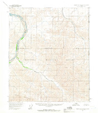
1956 · Demarcation Point B-1
USGS Topo · 1:63,360

1962 · Demarcation Point D-3
USGS Topo · 1:50,000