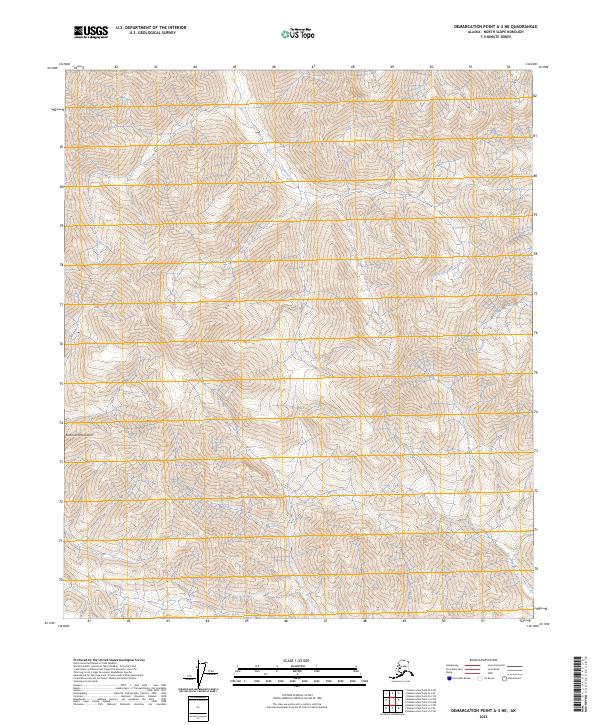
2023 Map of Demarcation Point A-3 NE
USGS Topo · Published 2023About this map
The Romanzof Mountains dominate this high-latitude terrain within the Arctic National Wildlife Refuge, where steep contour lines reveal a landscape defined by dramatic elevation changes. Much of the northern portion of this survey falls within the Mollie Beattie Wilderness, an area set aside for its primitive character. The Egaksrak River flows through the northeast, carving a path between the mountain peaks. This 2023 edition highlights a region entirely devoid of modern infrastructure, roads, or permanent settlements, preserving a purely natural state within the North Slope Borough. The absence of human-made landmarks emphasizes the area's role as a protected wilderness, offering a baseline for environmental study and the preservation of Arctic ecosystems.
Find a feature on this map
10 named features on this map. Tap any name to fly to it.
Don’t see what you’re looking for? This feature index may not catch every label — zoom into the map to look around manually.
Map Details
Editions of this 2023 Demarcation Point A-3 NE Map
This is the sole edition of this map. No revisions or reprints were ever made.
Other maps of this area

1951 · Demarcation Point
USGS Topo · 1:250,000

1955 · Demarcation Point
USGS Topo · 1:250,000
1956 · Demarcation Point B-3
USGS Topo · 1:63,360

1956 · Demarcation Point B-2
USGS Topo · 1:63,360

1964 · Demarcation Point
USGS Topo · 1:250,000

1983 · Demarcation Point A-2
USGS Topo · 1:63,360
1983 · Demarcation Point A-3
USGS Topo · 1:63,360
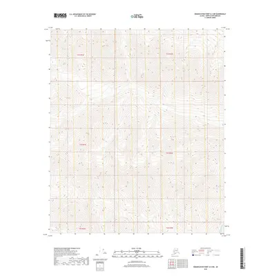
2018 · Demarcation Point A-2 NW
USGS Topo · 1:25,000
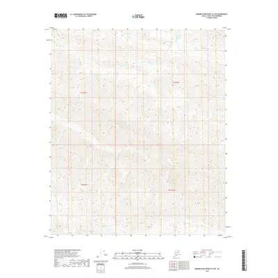
2018 · Demarcation Point B-2 SW
USGS Topo · 1:25,000
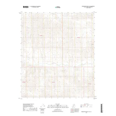
2018 · Demarcation Point A-3 SE
USGS Topo · 1:25,000