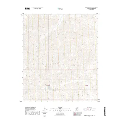
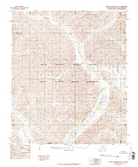
2018 Map of Demarcation Point A-4 SW
USGS Topo · Published 2018About this map
Aichilik River serves as the primary drainage through this high-latitude terrain within the North Slope Borough. This specific area is defined by a rigorous grid of the Public Land Survey System, covering portions of t4s r36e, t4s r37e, t5s r37e, and t5s r38e. The landscape is characterized by extreme relief, where the river braids through a narrow valley floor between steep mountain slopes. The lack of named settlements or infrastructure reflects the isolation of the Arctic wilderness, where the hydrology of the Aichilik River remains the most prominent geographic identifier for navigation and study.
Find a feature on this map
5 named features on this map. Tap any name to fly to it.
Don’t see what you’re looking for? This feature index may not catch every label — zoom into the map to look around manually.
Map Details
Editions of this 2018 Demarcation Point A-4 SW Map
This is the sole edition of this map. No revisions or reprints were ever made.
Other maps of this area

1951 · Demarcation Point
USGS Topo · 1:250,000

1951 · Table Mountain
USGS Topo · 1:250,000

1955 · Demarcation Point
USGS Topo · 1:250,000

1956 · Table Mountain
USGS Topo · 1:250,000

1964 · Table Mountain
USGS Topo · 1:250,000

1964 · Demarcation Point
USGS Topo · 1:250,000
1983 · Table Mountain D-4
USGS Topo · 1:63,360
1983 · Demarcation Point A-5
USGS Topo · 1:63,360
1983 · Demarcation Point A-4
USGS Topo · 1:63,360
1983 · Table Mountain D-5
USGS Topo · 1:63,360