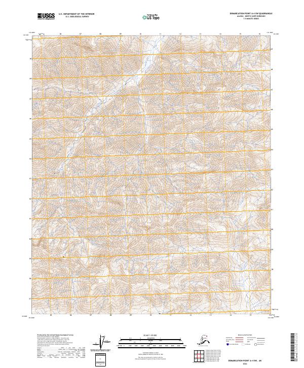
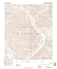
2024 Map of Demarcation Point A-4 SW
USGS Topo · Published 2024About this map
Aichilik River meanders across this high-latitude terrain, carving through the Brooks Range foothills in the northernmost reaches of the state. This landscape is defined by its status as protected wilderness, falling entirely within the Arctic National Wildlife Refuge and the Mollie Beattie Wilderness. The map reveals a complex drainage network where countless unnamed seasonal streams and tributaries feed into the main river channel, illustrating the hydrologic patterns of the North Slope. Surveyed with modern precision, the topography shows the steep relief of the mountains giving way to the tundra, documenting a region where the natural environment remains largely unaltered by infrastructure or permanent settlement.
Find a feature on this map
7 named features on this map. Tap any name to fly to it.
Don’t see what you’re looking for? This feature index may not catch every label — zoom into the map to look around manually.
Map Details
Editions of this 2024 Demarcation Point A-4 SW Map
This is the sole edition of this map. No revisions or reprints were ever made.
Other maps of this area

1951 · Demarcation Point
USGS Topo · 1:250,000

1951 · Table Mountain
USGS Topo · 1:250,000

1955 · Demarcation Point
USGS Topo · 1:250,000

1956 · Table Mountain
USGS Topo · 1:250,000

1964 · Table Mountain
USGS Topo · 1:250,000

1964 · Demarcation Point
USGS Topo · 1:250,000
1983 · Table Mountain D-4
USGS Topo · 1:63,360
1983 · Demarcation Point A-5
USGS Topo · 1:63,360
1983 · Demarcation Point A-4
USGS Topo · 1:63,360
1983 · Table Mountain D-5
USGS Topo · 1:63,360