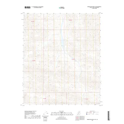
2018 Map of Demarcation Point B-3 NE
USGS Topo · Published 2018About this map
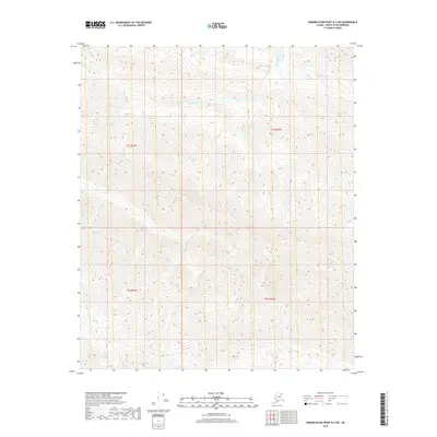
The Ekaluakat River carves a deep path through this section of the North Slope, serving as the dominant geographic feature of the landscape. Flowing generally northward, the river is flanked by complex topographic relief that highlights the drainage patterns of this Arctic environment. To the northwest, the smaller Redwacke Cr feeds into the system, its course defined by sharp elevation changes characteristic of the region's foothills. This 2018 survey detail provides a look at the wilderness before any significant modern infrastructure reached this corner of Alaska. The map traces the precise township and range lines, such as t1n r40e and t2n r39e, which provide a vital framework for understanding the Public Land Survey System in this undeveloped territory.
Find a feature on this map
8 named features on this map. Tap any name to fly to it.
Don’t see what you’re looking for? This feature index may not catch every label — zoom into the map to look around manually.
Map Details
Editions of this 2018 Demarcation Point B-3 NE Map
This is the sole edition of this map. No revisions or reprints were ever made.
Other maps of this area

1951 · Demarcation Point
USGS Topo · 1:250,000

1955 · Demarcation Point
USGS Topo · 1:250,000

1955 · Demarcation Point C-2
USGS Topo · 1:63,360

1955 · Demarcation Point C-3
USGS Topo · 1:63,360
1956 · Demarcation Point B-3
USGS Topo · 1:63,360

1956 · Demarcation Point B-2
USGS Topo · 1:63,360

1964 · Demarcation Point
USGS Topo · 1:250,000
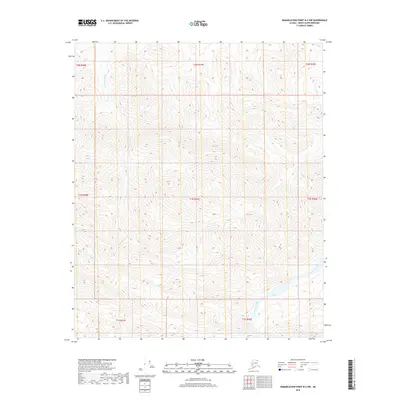
2018 · Demarcation Point B-2 NW
USGS Topo · 1:25,000
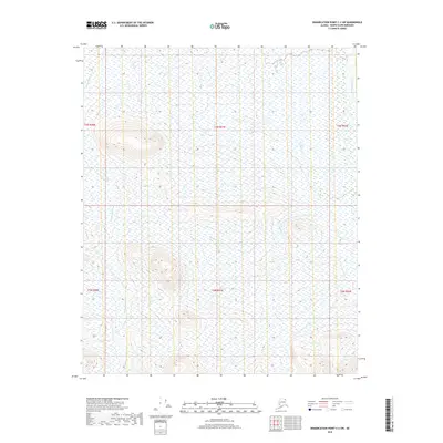
2018 · Demarcation Point C-2 SW
USGS Topo · 1:25,000
2018 · Demarcation Point B-2 SW
USGS Topo · 1:25,000