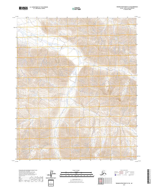
2023 Map of Demarcation Point B-3 SE
USGS Topo · Published 2023About this map
Mollie Beattie Wilderness and the Arctic National Wildlife Refuge define the high-latitude character of this landscape in the eastern North Slope. The terrain is dominated by the northward-flowing Egaksrak River, which winds through narrow valleys between rising mountain slopes. Farther east, the Ekaluakat River cuts its own path through the tundra and peaks, reflecting a drainage pattern that has shaped this part of the Brooks Range foothills for millennia. The map reveals a land largely devoid of human infrastructure, where the natural hydrography and federally protected boundaries are the primary markers of the territory. This 2023 survey serves as a precise modern baseline for studying the shifting braided channels and permanent wilderness areas of northern Alaska.
Find a feature on this map
8 named features on this map. Tap any name to fly to it.
Don’t see what you’re looking for? This feature index may not catch every label — zoom into the map to look around manually.
Map Details
Editions of this 2023 Demarcation Point B-3 SE Map
This is the sole edition of this map. No revisions or reprints were ever made.
Other maps of this area

1951 · Demarcation Point
USGS Topo · 1:250,000

1955 · Demarcation Point
USGS Topo · 1:250,000
1956 · Demarcation Point B-3
USGS Topo · 1:63,360

1956 · Demarcation Point B-2
USGS Topo · 1:63,360

1964 · Demarcation Point
USGS Topo · 1:250,000

1983 · Demarcation Point A-2
USGS Topo · 1:63,360
1983 · Demarcation Point A-3
USGS Topo · 1:63,360
2018 · Demarcation Point B-2 NW
USGS Topo · 1:25,000
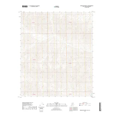
2018 · Demarcation Point A-2 NW
USGS Topo · 1:25,000
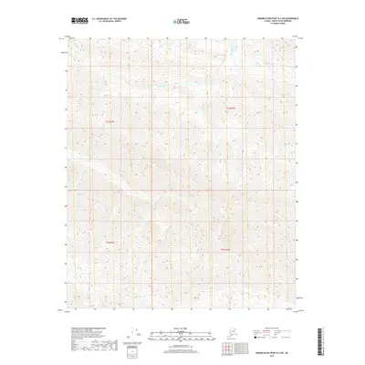
2018 · Demarcation Point B-2 SW
USGS Topo · 1:25,000