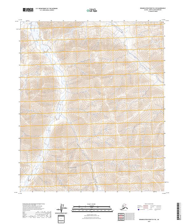
2023 Map of Demarcation Point B-4 SE
USGS Topo · Published 2023About this map
The Romanzof Mountains dominate this high-latitude terrain within the Arctic National Wildlife Refuge, where sharp relief and steep drainage basins define the landscape. This 2023 edition shows the north-flowing Aichilik River cutting through the western portion of the sheet, while the Leffingwell Fork occupies the northeast corner. These watercourses are vital components of the protected ecosystem within the Mollie Beattie Wilderness, representing a preserved Arctic environment where natural processes remain largely undisturbed by human infrastructure. The lack of roads or established settlements emphasizes the character of this part of the North Slope Borough, where land management is focused on conservation and wilderness preservation.
Find a feature on this map
11 named features on this map. Tap any name to fly to it.
Don’t see what you’re looking for? This feature index may not catch every label — zoom into the map to look around manually.
Map Details
Editions of this 2023 Demarcation Point B-4 SE Map
This is the sole edition of this map. No revisions or reprints were ever made.
Other maps of this area

1951 · Demarcation Point
USGS Topo · 1:250,000

1955 · Demarcation Point
USGS Topo · 1:250,000
1956 · Demarcation Point B-4
USGS Topo · 1:63,360
1956 · Demarcation Point B-3
USGS Topo · 1:63,360

1964 · Demarcation Point
USGS Topo · 1:250,000
1983 · Demarcation Point A-4
USGS Topo · 1:63,360
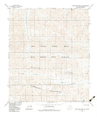
1983 · Demarcation Point A-3
USGS Topo · 1:63,360
2018 · Demarcation Point A-4 NW
USGS Topo · 1:25,000
2018 · Demarcation Point B-4 SW
USGS Topo · 1:25,000
2018 · Demarcation Point B-4 NW
USGS Topo · 1:25,000